Enable Location

We need your location to show you interesting places around you

Discover nearby places

Find interesting locations and hidden gems around you

Precise directions

Get accurate directions and distances to places

Your location is never shared with other users. It's only used when you tap the location button.

Ponta Porã

Log in to your account

Start exploring — it's free

Trusted by 63,130 travelers worldwide

Continue with Google
Continue with Apple
or

We will send you a code to connect

By continuing, you accept our Terms and Conditions and our Privacy Policy

Check your inbox

We've sent a pincode in your inbox. Please enter the code below.

Discussion Reviews 5 Photos
68.8k Popularity

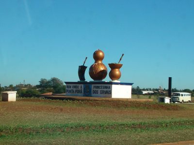
Ponta Porã, Border municipality in Mato Grosso do Sul, Brazil.

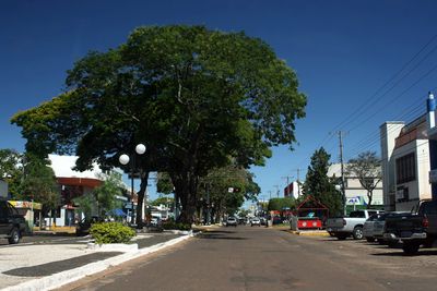
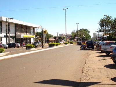
Ponta Porã is a border municipality in southwestern Mato Grosso do Sul that shares its edge with Paraguay. The town spreads across hilly terrain with wide avenues, residential neighborhoods, and commercial zones that flow seamlessly into the neighboring Paraguayan city.

The settlement began in 1862 as a military colony and grew into an important trading post at the border. In 1913, the place was officially raised to municipality status, with Ponciano de Matos Pereira becoming the first mayor.

The town sits directly next to Pedro Juan Caballero, so Brazilian Portuguese and Paraguayan Spanish mix in everyday conversation on the streets. Many shops accept both currencies, making daily shopping easier for residents and visitors from both sides.

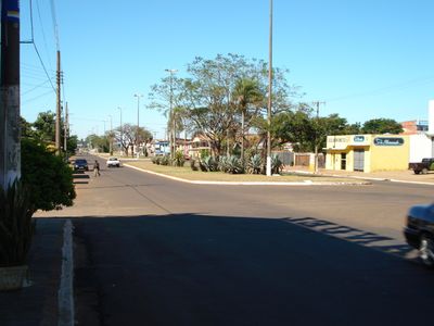
The streets run parallel and perpendicular to the border, making it easy to navigate between the two countries. Visitors should carry a valid passport if they plan to spend extended time on the Paraguayan side.

Some streets are used by pedestrians and cars from both countries without formal border posts in between. In some sections, the international boundary runs through the middle of residential blocks, so neighbors live on either side of the line.

The community of curious travelers

AroundUs brings together thousands of curated places, local tips, and hidden gems, enriched daily by 60,000 contributors worldwide.

Start exploring
Inception
1892
Elevation above the sea
687 m
Shares border with
Aral Moreira, Antônio João, Bela Vista, Dourados, Guia Lopes da Laguna, Jardim, Laguna Carapã, Maracaju
GPS coordinates
-22.53583,-55.72583
Latest update
December 13, 2025 17:57
Reviews
Share your experience

No review yet

Discussions
Start a discussion...

No discussion yet

« Ponta Porã - Border municipality in Mato Grosso do Sul, Brazil » is provided by Around Us (aroundus.com). Images and texts are derived from Wikimedia project under a Creative Commons license. You are allowed to copy, distribute, and modify copies of this page, under the conditions set by the license, as long as this note is clearly visible.

Discover hidden gems everywhere you go!

From secret cafés to breathtaking viewpoints, skip the crowded tourist spots and find places that match your style. Our app makes it easy with voice search, smart filtering, route optimization, and insider tips from travelers worldwide. Download now for the complete mobile experience.

Around Us App Screenshot

A unique approach to discovering new places

Le Figaro

All the places worth exploring

France Info

A tailor-made excursion in just a few clicks

20 Minutes

Around Us
Travel Guide & Maps
Download

Send to your phone

QR Code
1

Open the camera app on your mobile.

2

Point at the QR code with your camera. A notification will appear.

3

Tap the notification to open the link.