União da Vitória, Municipality in Paraná, Brazil.
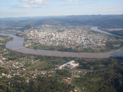
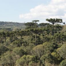
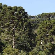
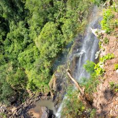
União da Vitória is a municipality in the southern Brazilian state of Paraná, situated on the banks of the Iguaçu River. The town sits in a hilly area and serves as the main urban and administrative center for the surrounding region.
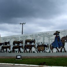
The area was settled in the late 19th century as part of the territory of Palmas, becoming an independent municipality in 1890. Shortly after, the region became a backdrop for the Contestado War, a conflict that redrew the border between Paraná and Santa Catarina.
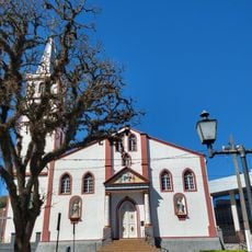
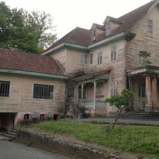
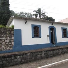
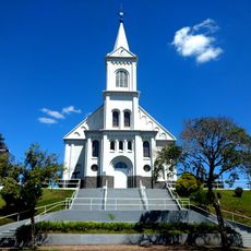
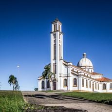
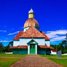
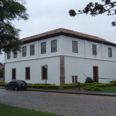
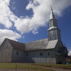
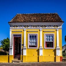
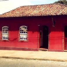
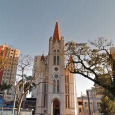
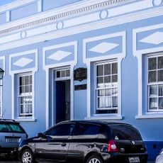
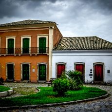
The town has a strong Eastern European feel, visible in its churches, local festivals, and food. Ukrainian and Polish influences are the most noticeable, showing up in the architecture of older buildings and in the dishes served at local restaurants.
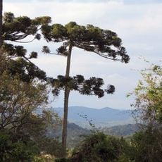
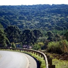
The town is set in hilly terrain, so comfortable footwear is a good idea when exploring on foot. Bus connections link União da Vitória to other towns in Paraná and to the neighboring state of Santa Catarina.
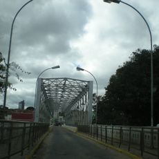
The town sits directly across from Porto União, a city in the neighboring state of Santa Catarina, and the two share what feels like a single town center. Despite belonging to two different states, they function in daily life almost as one city, with residents crossing between them for shopping, work, and services.
The community of curious travelers
AroundUs brings together thousands of curated places, local tips, and hidden gems, enriched daily by 60,000 contributors worldwide.