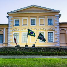
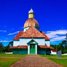
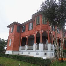
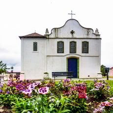
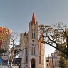
Papanduva, Municipality in Santa Catarina, Brazil
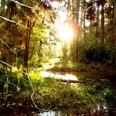
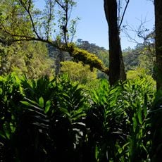
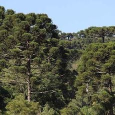
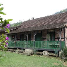
Papanduva is a municipality in southern Brazil located in Santa Catarina state, covering a substantial land area across varying terrain. The landscape rises and falls noticeably, creating different environments from lower to higher elevations throughout the region.
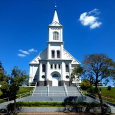
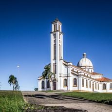
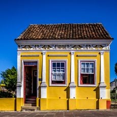
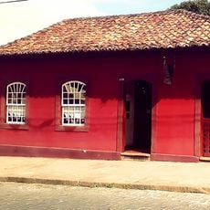
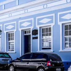
The settlement developed as part of Brazil's expansion of administrative regions during the 1900s. This growth followed patterns seen across southern Brazilian communities that formed during the same period.
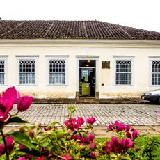
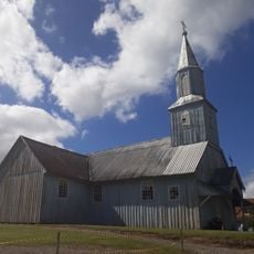
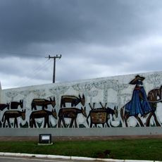
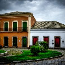
Local traditions shape how people gather and celebrate together, with regional festivals and food bringing the community closer. These customs reflect the way residents connect with their surroundings and each other.
The area sits at a height that affects its climate and seasons, so visitors should prepare for changing weather conditions. Different parts of the region may have noticeably different temperatures depending on how high they are.
The varying heights create natural zones with their own farming conditions and plant growth patterns. This means different crops are grown in different parts of the region based on how the land sits.
The community of curious travelers
AroundUs brings together thousands of curated places, local tips, and hidden gems, enriched daily by 60,000 contributors worldwide.