Enable Location

We need your location to show you interesting places around you

Discover nearby places

Find interesting locations and hidden gems around you

Precise directions

Get accurate directions and distances to places

Your location is never shared with other users. It's only used when you tap the location button.

São José dos Ausentes

Log in to your account

Start exploring — it's free

Trusted by 62,033 travelers worldwide

Continue with Google
Continue with Apple
or

We will send you a code to connect

By continuing, you accept our Terms and Conditions and our Privacy Policy

Check your inbox

We've sent a pincode in your inbox. Please enter the code below.

São José dos Ausentes, Mountain municipality in Rio Grande do Sul, Brazil.

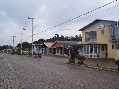
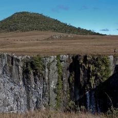
São José dos Ausentes is a municipality in Rio Grande do Sul at an elevation of about 1200 meters (3940 feet). The landscape features rolling highlands with grasslands and forests, crossed by natural waterfalls throughout the area.

The area grew from early settlements where people focused on cattle raising and local farming. It received official status as a municipality in 1992, formalizing what was already an established territory.

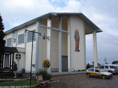
The community shapes this place through farming practices and local traditions visible in markets and seasonal gatherings. You can feel a strong connection to nature and regional products that define daily life here.

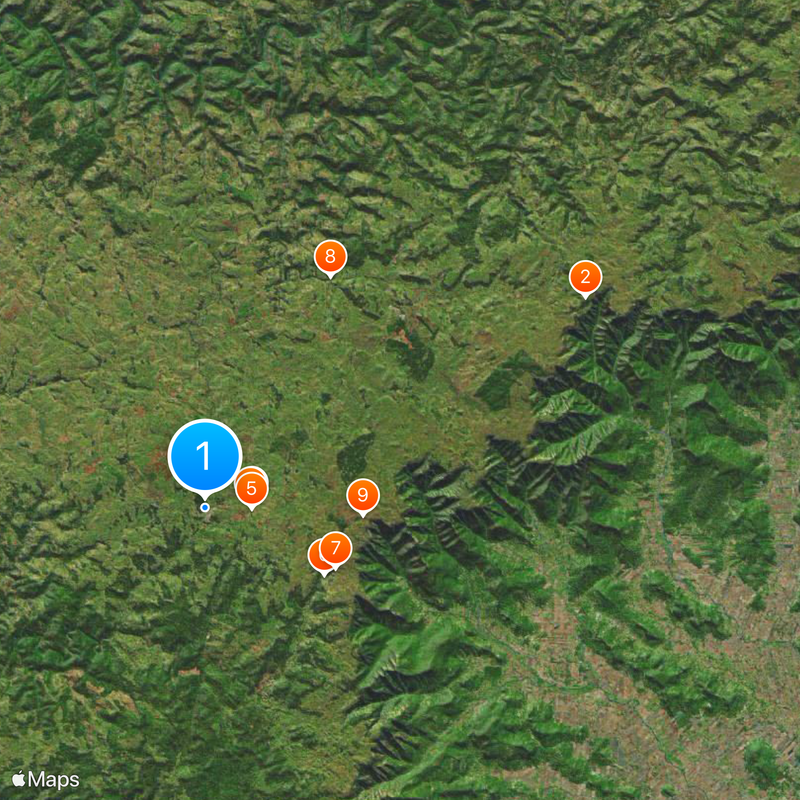
The municipality is accessible via paved roads from Porto Alegre, with the route passing through highland terrain. Lodging options range from rural guesthouses to mountain accommodations with local services.

The area contains Monte Negro Peak at 1403 meters, which is the highest point in the entire state. This mountain draws visitors interested in reaching the state's highest elevation.

The community of curious travelers

AroundUs brings together thousands of curated places, local tips, and hidden gems, enriched daily by 60,000 contributors worldwide.

Start exploring
Inception
1992
Elevation above the sea
1,200 m
Shares border with
Bom Jesus, Bom Jardim da Serra, Cambará do Sul, Jaquirana, Morro Grande, Nova Veneza, São Joaquim, Timbé do Sul
GPS coordinates
-28.74778,-50.06583
Latest update
December 20, 2025 14:49
« São José dos Ausentes - Mountain municipality in Rio Grande do Sul, Brazil » is provided by Around Us (aroundus.com). Images and texts are derived from Wikimedia project under a Creative Commons license. You are allowed to copy, distribute, and modify copies of this page, under the conditions set by the license, as long as this note is clearly visible.

Discover hidden gems everywhere you go!

From secret cafés to breathtaking viewpoints, skip the crowded tourist spots and find places that match your style. Our app makes it easy with voice search, smart filtering, route optimization, and insider tips from travelers worldwide. Download now for the complete mobile experience.

Around Us App Screenshot

A unique approach to discovering new places

Le Figaro

All the places worth exploring

France Info

A tailor-made excursion in just a few clicks

20 Minutes

Around Us
Travel Guide & Maps
Download

Send to your phone

QR Code
1

Open the camera app on your mobile.

2

Point at the QR code with your camera. A notification will appear.

3

Tap the notification to open the link.