Santo Antônio da Patrulha, Municipality in Rio Grande do Sul, Brazil
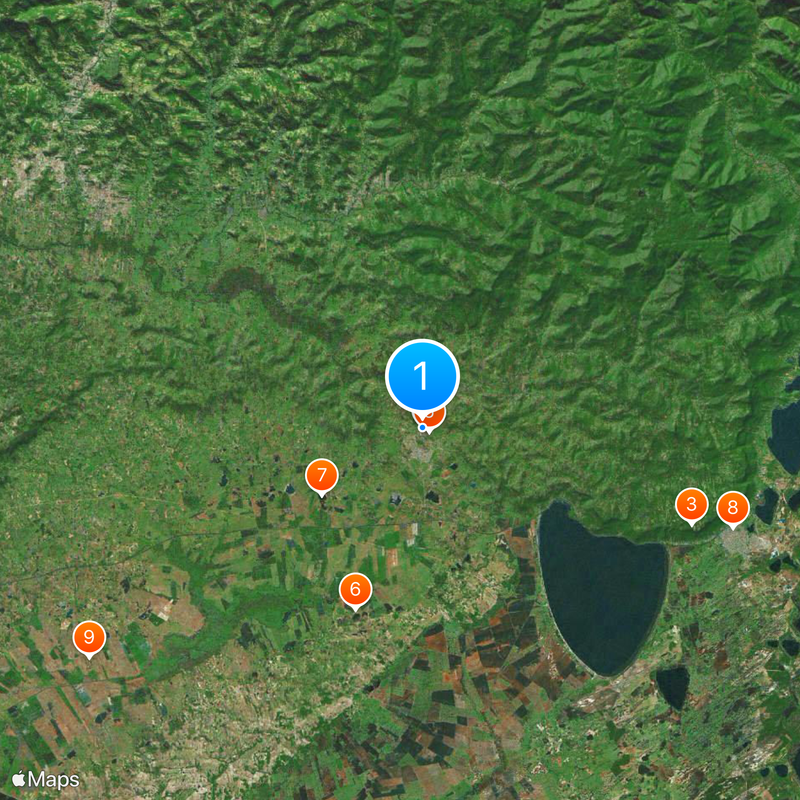
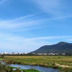
Santo Antônio da Patrulha is a municipality in Rio Grande do Sul that spreads across terrain with rivers, hills, and farmland. The town sits in a region shaped by agriculture and mixed landscapes.
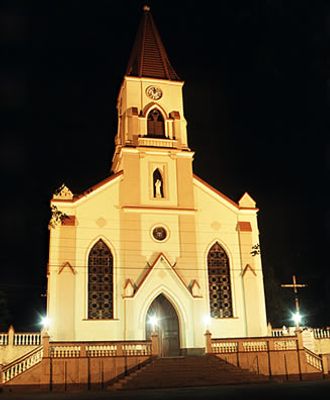
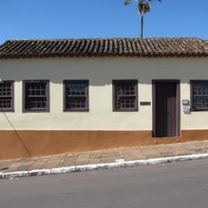
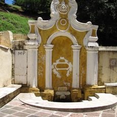
The municipality was founded in 1809 as one of the early Portuguese settlements in southern Brazil. Its creation marks a period when European colonizers were establishing communities in this region.
Traditional festivities in Santo Antônio da Patrulha showcase local music, dance performances, and regional dishes that reflect European colonial influences.
The municipality sits about 72 kilometers from Porto Alegre and has bus connections to the state capital. Travelers can reach the town using regular transport services.
The area is known for growing rice, corn, and soybeans, which shape the local economy. These crops play an important role in supplying southern Brazil.
The community of curious travelers
AroundUs brings together thousands of curated places, local tips, and hidden gems, enriched daily by 60,000 contributors worldwide.