Bento Gonçalves

Log in to your account

AroundUs is a community-driven map of interesting places, built by curious explorers like you. It grows with every review, story, and photo you share.
Connect to save your favorite spots, contribute locations, and create personalized routes.
Continue with Google
Continue with Apple
Continue with X
Continue with Facebook
Continue with email
By continuing, you accept our Terms and Conditions and our Privacy Policy
Create an account
Add to collection
Map
Suggest a change
Share

Bento Gonçalves, Municipal center in Serra Gaúcha, Brazil

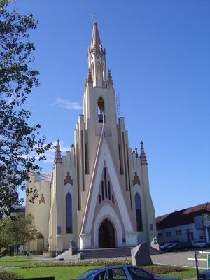
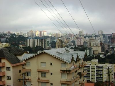
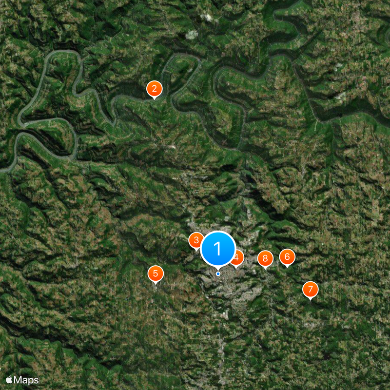
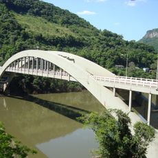
Bento Gonçalves is a municipal center in Rio Grande do Sul state that spreads across several ridges in the Serra Gaúcha region. The city sits at different elevations, and its streets pass through green valleys and vineyards that border residential areas in many places.

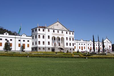
Italian families founded settlements in the area starting in the 1870s after the land opened to colonists. The territory became a separate municipality only in the early 20th century, when farming activities consolidated and early workshops began to appear.

The name honors a 19th-century soldier who played a role in the country's history. Many residents today maintain family customs tied to grape harvest and communal meals, habits that shape daily life in several neighborhoods during the growing season.

Many shops and businesses close for a longer midday break, so plan important errands for morning or late afternoon. Neighborhoods often sit on steep slopes, so comfortable shoes and some fitness help when exploring residential areas.

Many cellars and backyards still hold old stone presses and wooden barrels that families have used for generations. Some streets carry bilingual signs showing both Portuguese and Venetian dialect names, a sign of living memory from earlier times.

Location: Rio Grande do Sul

Inception: October 11, 1890

Elevation above the sea: 690 m

Shares border with: Monte Belo do Sul, Pinto Bandeira, Cotiporã, Farroupilha, Garibaldi, Santa Tereza, Rio Grande do Sul, Veranópolis

Website: http://bentogoncalves.rs.gov.br

GPS coordinates: -29.17083,-51.51889

Latest update: December 13, 2025 15:54

Photos
Reviews

Visited this place? Tap the stars to rate it and share your experience / photos with the community! Try now! You can cancel it anytime.

« Bento Gonçalves - Municipal center in Serra Gaúcha, Brazil » is provided by Around Us (aroundus.com). Images and texts are derived from Wikimedia project under a Creative Commons license. You are allowed to copy, distribute, and modify copies of this page, under the conditions set by the license, as long as this note is clearly visible.

Discover hidden gems everywhere you go!

From secret cafés to breathtaking viewpoints, skip the crowded tourist spots and find places that match your style. Our app makes it easy with voice search, smart filtering, route optimization, and insider tips from travelers worldwide. Download now for the complete mobile experience.

Around Us App Screenshot

A unique approach to discovering new places

Le Figaro

All the places worth exploring

France Info

A tailor-made excursion in just a few clicks

20 Minutes