
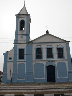
Igreja do Rosário, historic site in Iguape, São Paulo, Brazil
Location: Iguape
Address: Rua Papa João XXIII, Iguape, São Paulo, Brasil
GPS coordinates: -24.71067,-47.55847
Latest update: March 18, 2025 01:02
Barra do Una
56 km
Juréia-Itatins Ecological Station
37.1 km
Ilha do Cardoso State Park
67.5 km
Carlos Botelho State Park
75.5 km
Atlantic Forest South-East Reserves
75.3 km
Mata Atlântica Biosphere Reserve
75.3 km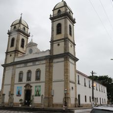
Basilica of Our Lady of the Snows, Iguape
277 m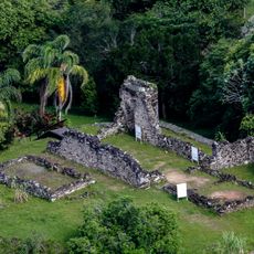
Ruínas do Abarebebê
77 km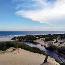
Cananéia-Iguape e Peruíbe Environmental Protection Area
35 km
Lagamar de Cananéia State Park
70.3 km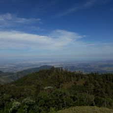
Cajati Environmental Protection Area
71.1 km
Serra do Mar Environmental Protection Area
50.9 km
Tupiniquins Ecological Station
53.6 km
Ilha Comprida Environmental Protection Area
20.9 km
Itinguçu State Park
61.1 km
Jacupiranga Mosaic
75.7 km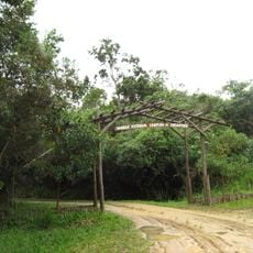
Campina do Encantado State Park
23.4 km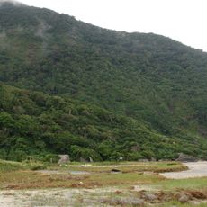
Prelado State Park
30.9 km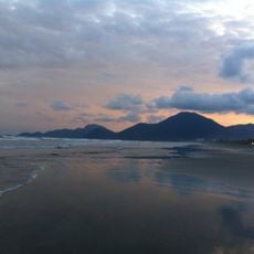
Juréia-Itatins Mosaic
37.7 km
Iate Park
1.8 km
Kaigai Koygyo Kabushiki Kaisha
37.8 km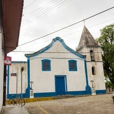
Igreja Matriz de Cananéia
50.4 km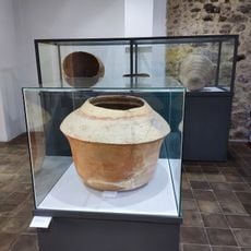
Museu Municipal de Iguap
451 m
Capela Nossa Senhora do Rosário dos Homens Pretos
73.4 km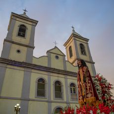
Igreja de São Benedito
498 m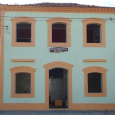
Museu Histórico e Arqueológico de Iguape
506 m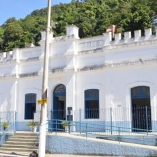
Historic center of Cananeia
50.4 km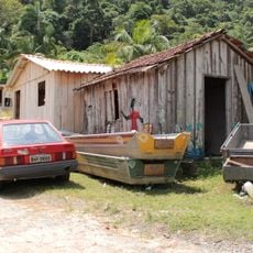
Quilombo Mandira
49.2 kmVisited this place? Tap the stars to rate it and share your experience / photos with the community! Try now! You can cancel it anytime.
Discover hidden gems everywhere you go!
From secret cafés to breathtaking viewpoints, skip the crowded tourist spots and find places that match your style. Our app makes it easy with voice search, smart filtering, route optimization, and insider tips from travelers worldwide. Download now for the complete mobile experience.

A unique approach to discovering new places❞
— Le Figaro
All the places worth exploring❞
— France Info
A tailor-made excursion in just a few clicks❞
— 20 Minutes