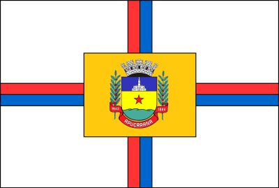
Apucarana, Municipality of Paraná, Brazil
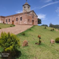
Apucarana is a city in the northern region of Paraná, situated at a higher elevation on a plateau. The municipality spans a wide geographic area and includes both urban and agricultural zones.
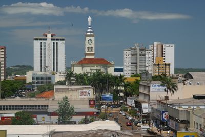
The city was founded in 1944 and initially grew from an agricultural settlement. Textile manufacturing later became the driving force for urban expansion and transformed it into an industrial center.
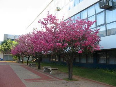
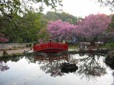
The Japanese community shaped the city by planting cherry trees throughout, which transform the streets during blooming season. These trees remain a visible reminder of their cultural influence and mark the local identity.
Cap. João Busse Airport is located nearby and connects the city to larger Brazilian centers. Visitors should note that the elevated location affects the climate and daily conditions throughout the year.
The city has maintained a strong agricultural tradition despite its transformation into a modern industrial center. Today, coffee, soybean, and corn cultivation coexist alongside urban development and factory operations.
The community of curious travelers
AroundUs brings together thousands of curated places, local tips, and hidden gems, enriched daily by 60,000 contributors worldwide.