Arapongas, Municipality in Paraná, Brazil.
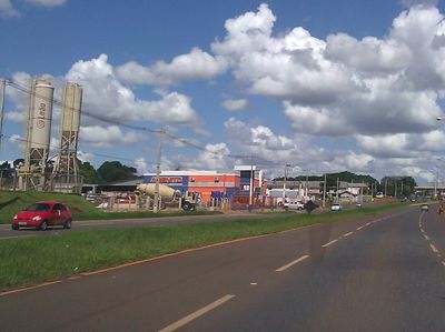
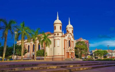
Arapongas is a city in northern Paraná that spreads across hilly terrain at roughly 800 meters elevation. Its center contains schools, universities, a market area, and shops, while residential neighborhoods branch out around the downtown.
A school founded in 1943 marked the start of settlement in the area, four years before the city received its official founding in 1947. It grew afterward into a regional hub for commerce and education.
The Museum of Art and History displays objects and artworks that reveal how the city developed and how local people lived. Visitors can see which crafts and artistic traditions shaped the region over time.
The city has a clear layout with a center and surrounding neighborhoods that you can explore on foot or by public transport. Plan your visit for outside the hottest months, which run from December through February.
The Tropic of Capricorn line runs through the city and is marked along Federal Highway 369. Visitors stop there to take photos at a spot marking two different hemispheres.
Location: Paraná
Inception: 1947
Elevation above the sea: 816 m
Shares border with: Rolândia, Apucarana, Cambé, Londrina, Sabáudia
Website: http://arapongas.pr.gov.br
GPS coordinates: -23.41889,-51.42389
Latest update: December 6, 2025 21:26
Cathedral of Maringá
52.5 km
Morro do Diabo State Park
134.3 km
Estádio Willie Davids
52.5 km
Telêmaco Borba Cable Car
129.3 km
Fazenda Velha (Telêmaco Borba)
138.7 km
Perobas Biological Reserve
143.7 km
Pico Agudo (Japira)
130.8 km
Concha acústica de Londrina
29.6 km
Parque Ecológico Samuel Klabin
128.6 km
Estação Assis
132.9 km
Morro do Diabo
136.2 km
Ibiporã State Park
44 km
Teatro Municipal de Telêmaco Borba
130.2 km
Natural History Museum of Cornélio Procópio
83.4 km
Pirapozinho
126.9 km
Cemetery of Harmonia
129.2 km
Cathedral of St. Joseph, Campo Mourão
119.5 km
Praça Rocha Pombo
29.7 km
Capela Santa Cruz
54.2 km
Planetário de Londrina
28.9 km
Cineflix Aurora Shopping
26.9 km
Capela de Nossa Senhora do Perpétuo Socorro de Harmonia (Telêmaco Borba)
128.7 km
Cemetery São Marcos (Telêmaco Borba)
131.8 km
Biblioteca Pública Municipal de Telêmaco Borba
130.3 km
Centro de Interpretação da Natureza Frans Krajcberg
128.6 km
Capela Santa Pastorina
144.5 km
Estádio Municipal Péricles Pacheco da Silva
131.5 km
Museu da Fauna e da Flora
128.6 kmReviews
Visited this place? Tap the stars to rate it and share your experience / photos with the community! Try now! You can cancel it anytime.
Discover hidden gems everywhere you go!
From secret cafés to breathtaking viewpoints, skip the crowded tourist spots and find places that match your style. Our app makes it easy with voice search, smart filtering, route optimization, and insider tips from travelers worldwide. Download now for the complete mobile experience.
A unique approach to discovering new places❞
— Le Figaro
All the places worth exploring❞
— France Info
A tailor-made excursion in just a few clicks❞
— 20 Minutes