Lins, Municipal center in São Paulo, Brazil
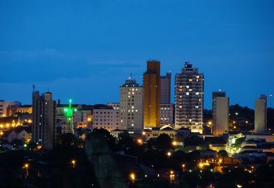
Lins is a municipality in the western part of São Paulo state, sitting at an elevation of about 437 meters (1,433 ft). The town functions as an administrative and commercial hub for its surrounding region.
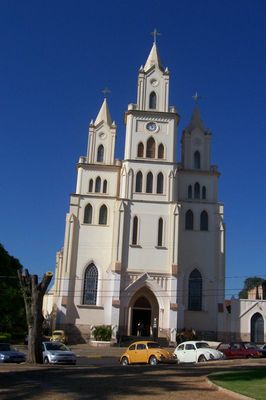
The town was originally called Santo Antônio do Campestre but was renamed in 1926 to honor Manoel Joaquim de Albuquerque Lins, a former president of São Paulo state. This change marked an important moment in the local identity.
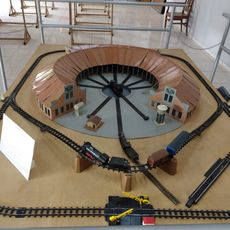
Local residents, called linenses, gather at arts and crafts fairs where you can see traditional items and products made by people from the area. These events reflect how the community values handmade work and keeping local traditions alive.
The town has an airport that connects it with other regional centers, making travel easier. Public services like a human milk bank for mothers and infants show the range of support available locally.
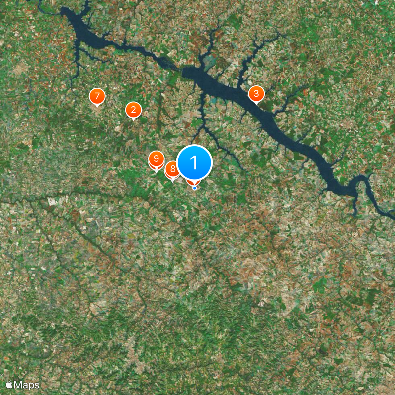
The Governor Lucas Nogueira Garcez Airport serves Lins, connecting this inland municipality to other regional centers throughout São Paulo state.
Location: São Paulo
Inception: 1920
Elevation above the sea: 437 m
Shares border with: Sabino, Guaiçara, Cafelândia, Getulina, Guaimbê
Website: http://lins.sp.gov.br
GPS coordinates: -21.67861,-49.74250
Latest update: December 6, 2025 21:21
Indústrias Reunidas Fábricas Matarazzo
62.6 km
Estádio Municipal José Maria de Campos Maia
98.4 km
Estádio Anísio Haddad
100.4 km
Museu de Paleontologia de Marília
64 km
Balneário de Termas de Ibira
86.5 km
Museu Histórico e Pedagógico Índia Vanuíre
84.8 km
Avanhandava
32.5 km
Estádio Municipal Pedro Marin Berbel
76.2 km
Caetetus Ecological Station
80.8 km
Museu Histórico Municipal de Bauru
99.2 km
Museum of Paleontology
64 km
Praia do Torres
37.2 km
Museu da Imagem e do Som de Bauru
99.2 km
Headquarters of Fazenda Divisa
89.5 km
Bauru Regional Railroad Museum
99.2 km
Catedral Basílica Menor de São Bento
63.3 km
Museu de arte sacra Franciscano
85 km
Museu de Arte Primitivista José Antônio da Silva
103.1 km
Solar Luiz de Souza Leão
84.7 km
Noroeste do Brasil 278
99.2 km
Museu Histórico de Lins
453 m
Casa de Cultura Doutor Ariovaldo Correa
98.9 km
Lago Municipal de Gália
71.6 km
House of the Chief Engineer of Araçatuba Central Railroad
89.4 km
Araçatuba Central Railroad Locomotive Workshop
89.6 km
Conjunto Ferroviário Central de Araçatuba
89.5 km
Museu Municipal do Folclore de Penápolis
45 km
Museu Histórico e Pedagógico Marechal Cândido Rondon
89.4 kmReviews
Visited this place? Tap the stars to rate it and share your experience / photos with the community! Try now! You can cancel it anytime.
Discover hidden gems everywhere you go!
From secret cafés to breathtaking viewpoints, skip the crowded tourist spots and find places that match your style. Our app makes it easy with voice search, smart filtering, route optimization, and insider tips from travelers worldwide. Download now for the complete mobile experience.
A unique approach to discovering new places❞
— Le Figaro
All the places worth exploring❞
— France Info
A tailor-made excursion in just a few clicks❞
— 20 Minutes