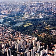
São Paulo, First-level administrative division in Southeast Region, Brazil
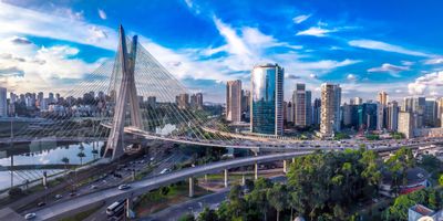
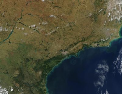
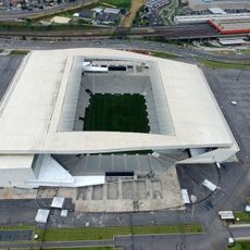
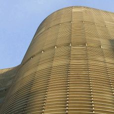
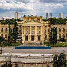
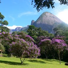
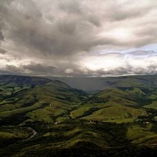
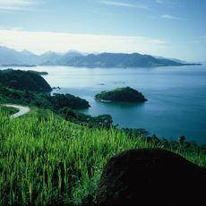
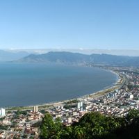
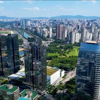
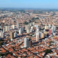
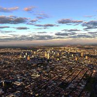
São Paulo is a first-level administrative division in the Southeast Region, whose territory extends across coastal areas, inland plateaus, and agricultural plains. The elevation ranges from sea level on the Atlantic coast to hills and highlands reaching over 500 meters, creating different climates and landscapes.
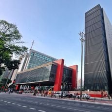
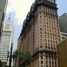
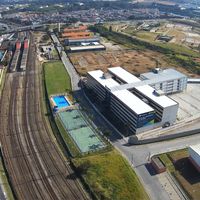
The formation of this division in 1889 followed the transition to a republic and fundamentally changed the political organization of the country. Previously shaped by the coffee economy, the region developed industry and transport infrastructure over the following decades, shaping its current role in the nation.
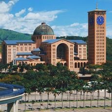
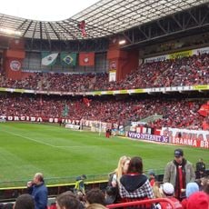
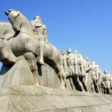
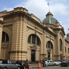
In many towns, coffee shops and market halls shape daily life, where people gather to chat and buy regional specialties. In public squares and parks, you see families having picnics, street musicians, and vendors selling sweets, all contributing to the social life outdoors.
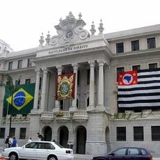
Public facilities such as health centers, schools, and transport offices are spread across different municipalities and usually follow standard opening hours. You can find information at town halls and regional administrative centers, where staff can help with questions about orientation and services.
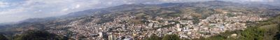
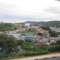
The region contains more than 600 municipalities, each with its own administration, creating a complex network of local decisions and responsibilities. Some smaller towns lie deep inland, where the rhythm of rural life is more noticeable than the rush of larger centers.
The community of curious travelers
AroundUs brings together thousands of curated places, local tips, and hidden gems, enriched daily by 60,000 contributors worldwide.