Cotia, Municipality in São Paulo Metropolitan Region, Brazil.
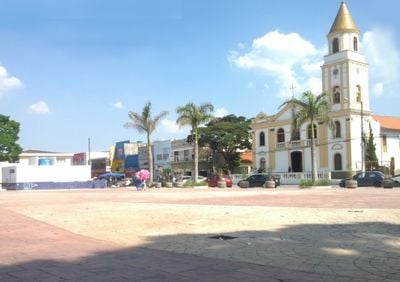
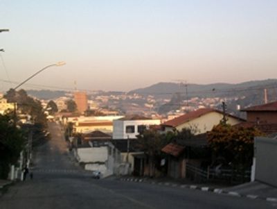
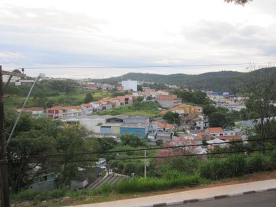
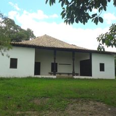
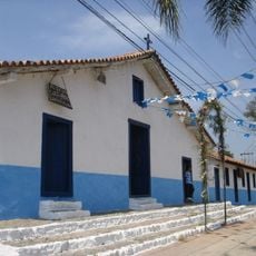
Cotia is a city in the São Paulo metropolitan region of São Paulo state in Brazil, spreading across hilly terrain between valleys and wooded slopes. The built-up area extends through several neighborhoods connected by winding roads.
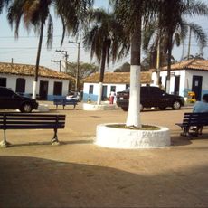
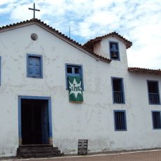
Portuguese settlers established early farmsteads in the 16th century on land previously inhabited by Tupi peoples. On April 2, 1856, the area was officially elevated to an independent municipality.
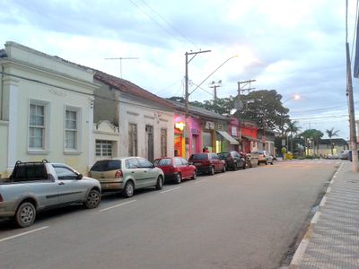
The name comes from the Tupi word for opossum, recalling the wildlife that early settlers encountered in these forests. Today people from many regions of Brazil live here, reflected in the restaurants and markets around town.
The Raposo Tavares expressway links the city to central São Paulo and is served by regular bus routes. Visitors driving should expect many local roads to be winding and narrow in places.
In the 1950s, this was the site of the only naturally occurring outbreak of Brazilian hemorrhagic fever documented in the country. Medical professionals studied the case intensively at the time to understand how the disease spreads.
Location: São Paulo
Inception: 1856
Elevation above the sea: 853 m
Shares border with: Carapicuíba, São Paulo, São Lourenço da Serra, Embu das Artes, Vargem Grande Paulista, Osasco, Ibiúna, Jandira, Taboão da Serra, São Roque, Itapecerica da Serra, Itapevi
Address: Cotia - Caucaia do Alto, Cotia - State of São Paulo, Brazil
Website: http://cotia.sp.gov.br
GPS coordinates: -23.60389,-46.91889
Latest update: December 13, 2025 17:06
Zu Lai Temple
4.1 km
Aldeia de Carapicuíba
8.1 km
Basilica Minor Our Lady of the Rosary of Fatima
5.2 km
House at Sítio do Mandu
2.7 km
House at Sítio do Padre Inácio
4.4 km
Barragem Pedro Beicht
13.4 km
Museu do Índio
8.5 kmReserva Florestal do Morro Grande
11.7 kmBarragem da Graça
7.5 km
Museu de Arte Sacra dos Jesuítas
8.5 km
Enkoji
16.7 km
Site of Father Inacio - Iphan
4.4 km
Odsal Ling
5.1 km
Paróquia Nossa Senhora do Rosário
8.5 km
Saint John the Baptist chapel
8.1 kmCentro Cultural Ilê Afro-brasileiro Odé Loreci
10 km
Garden of the 18 Arhats
4.2 kmMuseu Histórico e da Memória
14.2 kmMuseu de Apicultura e Mel do Apiario Embu Cidade das Abelhas
8.2 kmÒsun Ìya Oke Ile Afro-Brasileiro Ode Lorecy
9.8 kmSão Fernando Golf Club
5.6 kmPraça Maria Alzira das Pedras
10.6 kmPraça da Matriz Padre Giulio Liveranni
11 kmPraça do Rotary
11.4 kmPraça Municipal de eventos
9.9 kmCampo de futebol do Jardim São Lucas
9.9 kmAcademia ao ar livre
10.6 kmPraça municipal
10.6 kmVisited this place? Tap the stars to rate it and share your experience / photos with the community! Try now! You can cancel it anytime.
Discover hidden gems everywhere you go!
From secret cafés to breathtaking viewpoints, skip the crowded tourist spots and find places that match your style. Our app makes it easy with voice search, smart filtering, route optimization, and insider tips from travelers worldwide. Download now for the complete mobile experience.
A unique approach to discovering new places❞
— Le Figaro
All the places worth exploring❞
— France Info
A tailor-made excursion in just a few clicks❞
— 20 Minutes