Limeira, Administrative center in São Paulo, Brazil
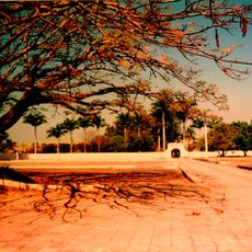
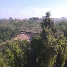
Limeira is an administrative center in eastern São Paulo state that spreads across a wide urban area with residential and industrial districts. The center sits on a plateau and is crossed by smaller side roads leading to commercial zones on the outskirts.
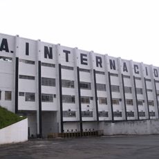
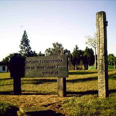
In the 1820s the settlement formed along an old trade route to Cuiabá where mills attracted farmers and landowners. During the 20th century the area developed into an industrial center focused on metalwork and agriculture.
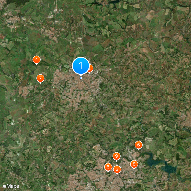
Around 450 companies in the jewelry and costume jewelry sector shape the local economy and make the area a major export hub. Streets in the center show active commercial movement during weekdays as workers and trucks move between factories and trade centers.
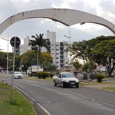
Two major highways lead toward São Paulo and make access by car or bus straightforward from different parts of the country. The city center can be explored on foot while taxis and rideshares help reach the industrial outer districts.
The region produces a large number of citrus seedlings each year that are raised in nurseries on the outskirts and distributed nationwide. Sugar cane fields surround wide sections of the outer areas and shape the landscape during harvest season.
Location: São Paulo
Inception: 1863
Elevation above the sea: 588 m
Shares border with: Santa Bárbara d'Oeste, Americana, Araras, Artur Nogueira, Cordeirópolis, Cosmópolis, Engenheiro Coelho, Iracemápolis, Piracicaba
Website: http://limeira.sp.gov.br
GPS coordinates: -22.56472,-47.40167
Latest update: December 13, 2025 15:35
Estádio Major José Levy Sobrinho
2 km
Saint Anthony Church
20.7 km
Fazenda Morro Azul
9.4 km
Estádio Décio Vitta
19.7 km
Fazenda Salto Grande
18.5 km
Fazenda Quilombo
8.3 km
Tourist Portal
21.2 km
Carioba Industrial Complex
18.2 km
Casa de Cultura Hermann Müller
18.3 km
E.E. Coronel José Levy
10.9 kmIgreja Matriz Velha de Santo Antonio
20.6 kmRepresa Iracema
10 km
Casarão - Museu Histórico e Pedagógico Conselheiro Carrão
18.6 kmBiblioteca e Casa de Cultura
87 mBarramento 1
22.2 kmGrupo Escolar Coronel Flamínio Ferreira
122 mBarramento Tanque Novo
12.3 kmMorro Azul
7.7 kmRepresa Municipal
11.1 kmPraça Pública
20.5 kmCapela Nossa Senhora do Carmo
20 kmCapela de Nossa Senhora Aparecida
20.5 kmTeatro Paulo Autran
21.3 kmTeatro Nair Belo
1.4 kmTeatro Vitória de Limeira
85 mWork of art, sculpture
6.8 kmWaterfall
4.4 kmCachoeira dos Patos
16.4 kmVisited this place? Tap the stars to rate it and share your experience / photos with the community! Try now! You can cancel it anytime.
Discover hidden gems everywhere you go!
From secret cafés to breathtaking viewpoints, skip the crowded tourist spots and find places that match your style. Our app makes it easy with voice search, smart filtering, route optimization, and insider tips from travelers worldwide. Download now for the complete mobile experience.
A unique approach to discovering new places❞
— Le Figaro
All the places worth exploring❞
— France Info
A tailor-made excursion in just a few clicks❞
— 20 Minutes