Caraguatatuba, Coastal municipality in São Paulo, Brazil.
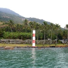
Caraguatatuba is a coastal municipality in São Paulo, Brazil, spreading between the Atlantic Ocean and the Serra do Mar mountain range. The shoreline runs for roughly 20 kilometers and alternates between sandy beach, small coves, and rocky sections where waves meet stone formations.
The settlement gained official municipality status in 1857, after sugarcane plantations and small fishing ports populated the coast. A large landslide disaster in 1967 changed parts of the landscape permanently and led to new building regulations in hillside areas.
The name comes from a Tupi word meaning "many bromeliad trees", a reference to the rainforest plants that once grew thickly along the coast. Local fishermen still sell their daily catch at the waterfront market, where vendors arrange fish on ice and chat with regular customers who come early each morning.
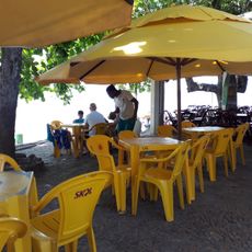
Most beaches sit directly along the main coastal road, so visitors can easily switch between them by car or bus. The southern beach sections tend to be quieter, while the central areas near the town center offer more infrastructure and more frequent bus connections.
A small folklore museum in an old colonial house displays tools and photos from the sugarcane plantations that once shaped economic life. Visitors also find handmade fishing nets and canoes that fishermen used until the 1970s.
The community of curious travelers
AroundUs brings together thousands of curated places, local tips, and hidden gems, enriched daily by 60,000 contributors worldwide.