Itaí, Municipality in São Paulo, Brazil
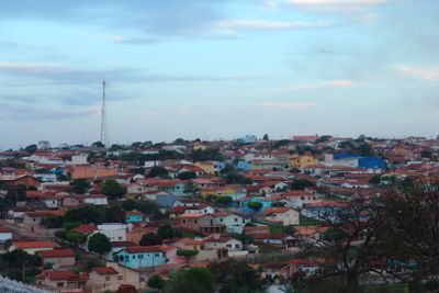
Itaí is a municipality in São Paulo located at 614 meters above sea level and covering approximately 1,083 square kilometers. The Tropic of Capricorn runs through the territory, and the Taquari River shapes the landscape nearby.
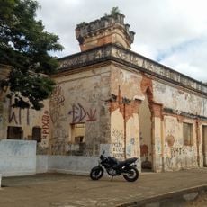
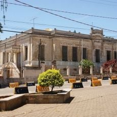
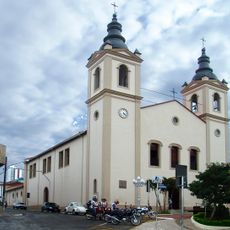
The settlement began in 1869 when farmers founded the village of Santo Antônio da Ponta da Serra near the Taquari River and built a chapel. It later became known as Itaí as the community grew.
The name comes from Tupi language and means river stone, connecting the place to its indigenous roots. This linguistic heritage remains visible today through local place names and community traditions.
Visitors should expect hilly terrain shaped by river systems, which naturally structures activities like hiking and exploration. The dry season offers better conditions for getting around and discovering different parts of the area.
The initial settlement in 1870 followed a thoughtful grid plan with organized streets and a central square, which was unusual for a rural frontier village. Growth was rapid, reaching about fifty houses within just two years.
The community of curious travelers
AroundUs brings together thousands of curated places, local tips, and hidden gems, enriched daily by 60,000 contributors worldwide.