Presidente Prudente, Regional economic center in western São Paulo, Brazil
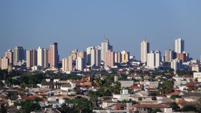
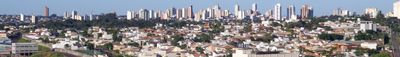
Presidente Prudente is a regional economic center in western São Paulo, Brazil, sitting at an elevation of 475 meters (1560 feet) above sea level. The city spreads out with multiple commercial districts and agricultural processing facilities that shape its outer areas and main roads.
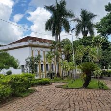
The settlement was initially known as Córrego do Veado before receiving its current name in 1917 to honor Prudente de Morais, the first civilian president of Brazil. The city grew during the early 20th century as a trading hub for agricultural goods from western São Paulo.
The Eduardo José Farah Stadium stands as the largest sports venue in interior Brazil, accommodating 45,000 spectators for football matches and events.
The city hosts three universities, including São Paulo State University and University of Western São Paulo, which together serve over 80,000 students through various educational programs. These institutions concentrate in several neighborhoods and shape the cityscape with campus grounds and student housing areas.
The Eduardo José Farah Stadium holds the distinction of being the largest sports venue in the interior of Brazil, accommodating 45,000 spectators for football matches and community events. The city also records extreme temperature swings, with summer months from October to February bringing temperatures around 40 degrees Celsius (104 degrees Fahrenheit), while winter nights occasionally drop below freezing.
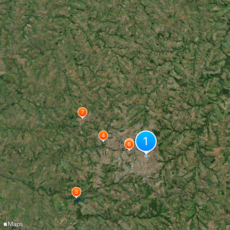
The community of curious travelers
AroundUs brings together thousands of curated places, local tips, and hidden gems, enriched daily by 60,000 contributors worldwide.