Araraquara, Regional urban center in São Paulo state, Brazil
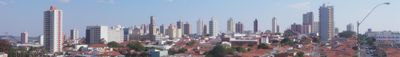
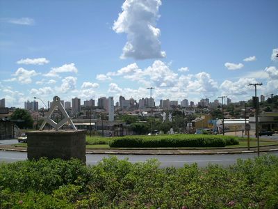
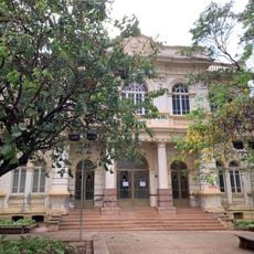
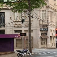
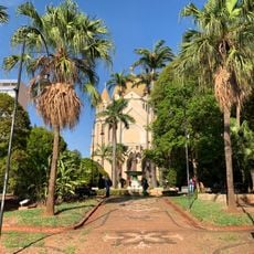
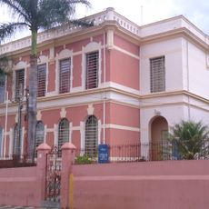
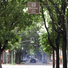
Araraquara is a city in central São Paulo state that sits on highland terrain near the Jacaré-Guaçu River and functions as an important regional hub. The city rises to about 660 meters (2,165 feet) elevation and connects rural surroundings with larger urban areas nearby.
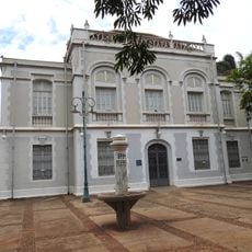
The settlement began in 1817 as Freguesia de São Bento de Araraquara and gained municipal status in 1832. This development reflects the early expansion of São Paulo's interior during the 19th century.
Local industries, including sugarcane processing, coffee production, textiles, and furniture manufacturing, shape the economic structure of this São Paulo state community.
The city connects to São Paulo and surrounding regions through Bartolomeu de Gusmão Airport as well as highways and rail lines. These links allow access to different neighborhoods and adjacent rural areas.
The name comes from the Tupi-Guaraní language and refers to habitats of macaws, the colorful parrots of the region. The Latin motto Altior altissimo semper appears on the municipal coat of arms and roughly translates to always higher than the highest.
The community of curious travelers
AroundUs brings together thousands of curated places, local tips, and hidden gems, enriched daily by 60,000 contributors worldwide.