Cajamar

Log in to your account

AroundUs is a community-driven map of interesting places, built by curious explorers like you. It grows with every review, story, and photo you share.
Connect to save your favorite spots, contribute locations, and create personalized routes.
Continue with Google
Continue with Apple
Continue with X
Continue with Facebook
Continue with email
By continuing, you accept our Terms and Conditions and our Privacy Policy
Create an account
Add to collection
Map
Suggest a change
Share

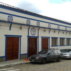
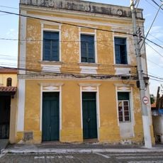
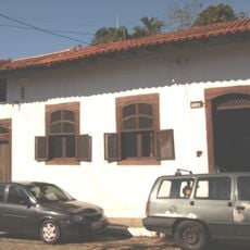
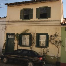
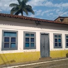
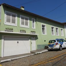
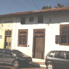
Cajamar, Municipality in São Paulo Metropolitan Region, Brazil

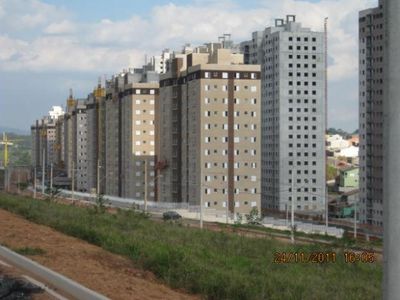
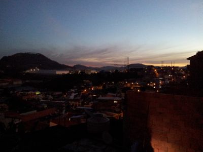
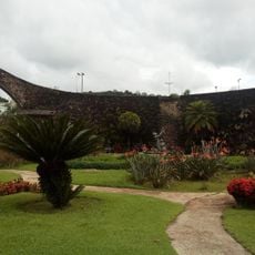
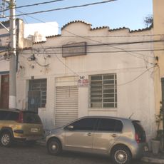
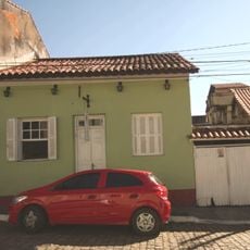
Cajamar is a municipality in the São Paulo Metropolitan Region of southeastern Brazil. The area sits at an elevation of roughly 760 meters and spreads across gently rolling terrain with residential neighborhoods, industrial zones, and scattered patches of green space.

The municipality became independent from Santana do Parnaíba in 1959, forming its own administrative unit within São Paulo state. This separation allowed the area to develop its own local government and services over the following decades.

The population of 92,689 residents represents different backgrounds, with 46,505 identifying as White, 38,129 as Mixed, and 8,053 as Black.

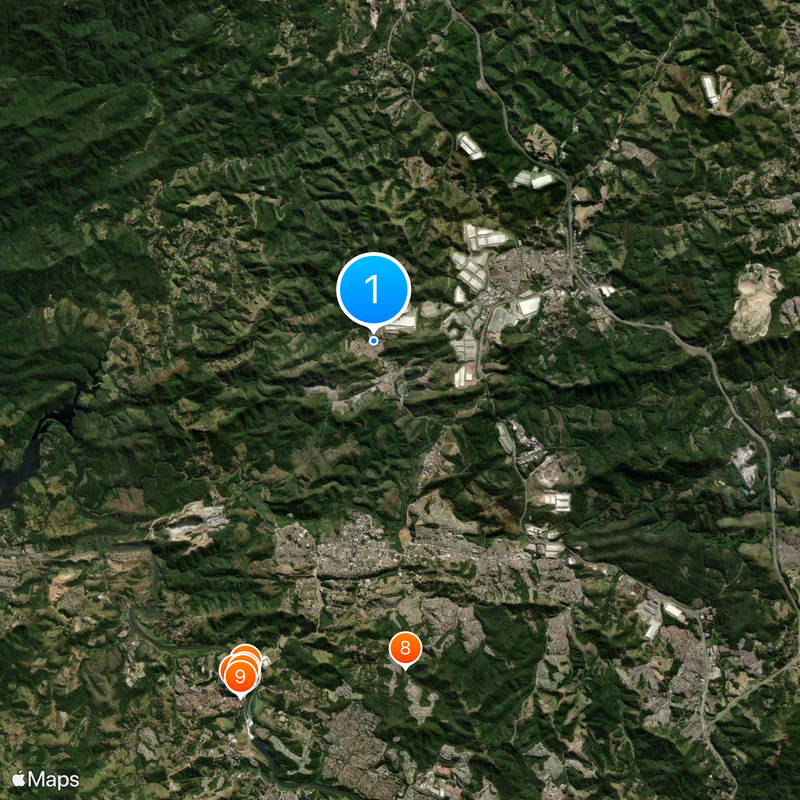
The municipality includes three main districts: the central area, Jordanésia, and Polvilho, connected by local roads and buses. Visitors can move between districts using public transport, with the central area offering most services and facilities.

The climate here brings warm summers and mild winters, with July being the coolest month and February the warmest. The rainy season extends throughout the year, with the wettest months bringing heavier rainfall than the drier periods.

Location: São Paulo

Inception: 1959

Elevation above the sea: 760 m

Shares border with: Jundiaí, São Paulo, Franco da Rocha, Caieiras, Santana de Parnaíba, Pirapora do Bom Jesus

Website: http://cajamar.sp.gov.br

GPS coordinates: -23.35583,-46.87694

Latest update: December 13, 2025 18:33

Photos
Around this place
Monumento aos Bandeirantes
Brazil

Monumento aos Bandeirantes

10.5 km
Fico centenario
Brazil

Fico centenario

10.1 km
Brazil

Morro do Major

10.4 km
Brazil

Baltasar Fernandes (Murilo Sá Toledo)

10.3 km
Brazil

Domingos Fernandes (Murilo Sá Toledo)

10.3 km
Heritage listed building in the historic center of Santana de Parnaíba 09
Brazil

Heritage listed building in the historic center of Santana de Parnaíba 09

10.6 km
Brazil

Barragem Taipinhas Alphavile

9.1 km
Heritage listed building in the historic center of Santana de Parnaíba 06
Brazil

Heritage listed building in the historic center of Santana de Parnaíba 06

10.6 km
Heritage listed building in the historic center of Santana de Parnaíba 102
Brazil

Heritage listed building in the historic center of Santana de Parnaíba 102

10.6 km
Rua Suzana Dias, 208
Brazil

Rua Suzana Dias, 208

10.6 km
Heritage listed building in the historic center of Santana de Parnaíba 100
Brazil

Heritage listed building in the historic center of Santana de Parnaíba 100

10.6 km
Brazil

Barragem Taipinhas Alphavile

9.1 km
Brazil

Barragem Vau Novo

5.8 km
Heritage listed building in the historic center of Santana de Parnaíba 07
Brazil

Heritage listed building in the historic center of Santana de Parnaíba 07

10.6 km
Heritage listed building in the historic center of Santana de Parnaíba 15
Brazil

Heritage listed building in the historic center of Santana de Parnaíba 15

10.6 km
Heritage listed building in the historic center of Santana de Parnaíba 05
Brazil

Heritage listed building in the historic center of Santana de Parnaíba 05

10.6 km
Heritage listed building in the historic center of Santana de Parnaíba 149
Brazil

Heritage listed building in the historic center of Santana de Parnaíba 149

10.6 km
Heritage listed building in the historic center of Santana de Parnaíba 10
Brazil

Heritage listed building in the historic center of Santana de Parnaíba 10

10.6 km
Brazil

Museu Municipal Casa da Memória

1.1 km
Heritage listed building in the historic center of Santana de Parnaíba 08
Brazil

Heritage listed building in the historic center of Santana de Parnaíba 08

10.6 km
Heritage listed building in the historic center of Santana de Parnaíba 03
Brazil

Heritage listed building in the historic center of Santana de Parnaíba 03

10.6 km
Heritage listed building in the historic center of Santana de Parnaíba 148
Brazil

Heritage listed building in the historic center of Santana de Parnaíba 148

10.6 km
Brazil

Morro da Placa

3.4 km
Brazil

Cachoeira Morungaba

8.6 km
Brazil

Fornos de Cal

10.1 km
Brazil

Torre Inca

5.2 km
Brazil

Cachoeira da Ponta

9.1 km
Brazil

Cachoeira do Amor

8.6 km
Show the full map
Reviews

Visited this place? Tap the stars to rate it and share your experience / photos with the community! Try now! You can cancel it anytime.

« Cajamar - Municipality in São Paulo Metropolitan Region, Brazil » is provided by Around Us (aroundus.com). Images and texts are derived from Wikimedia project under a Creative Commons license. You are allowed to copy, distribute, and modify copies of this page, under the conditions set by the license, as long as this note is clearly visible.

Discover hidden gems everywhere you go!

From secret cafés to breathtaking viewpoints, skip the crowded tourist spots and find places that match your style. Our app makes it easy with voice search, smart filtering, route optimization, and insider tips from travelers worldwide. Download now for the complete mobile experience.

Around Us App Screenshot

A unique approach to discovering new places

Le Figaro

All the places worth exploring

France Info

A tailor-made excursion in just a few clicks

20 Minutes