Porto Ferreira, Municipality in São Paulo, Brazil
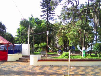
Porto Ferreira is a municipality in São Paulo that spreads across hilly terrain shaped by the Mojiguaçu River. Natural landscapes define much of the area's character and how the town is laid out among its surroundings.
The settlement began in the 1800s at a ferry crossing operated by João Inácio Ferreira and eventually grew into an independent municipality. This simple beginning at a river crossing shaped how the place developed and took its name.
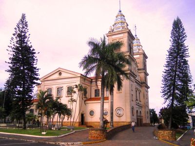
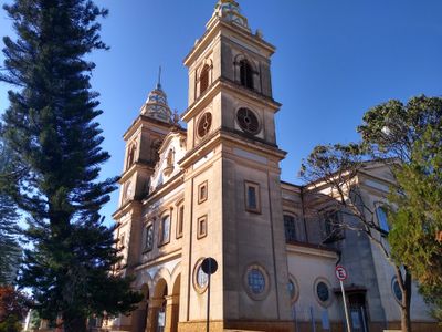
The town has deep Catholic roots that shape daily community life, with various congregations and religious gatherings woven into the local social fabric. This spiritual character remains central to how residents connect with one another.
The town connects to neighboring regions through major highways that make travel straightforward for visitors. Getting around relies on these road connections, which link the area to other nearby towns and cities.
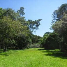
A protected area within the municipality preserves local plants and wildlife, established to safeguard the natural surroundings for future generations. This forest zone offers a quiet place to observe native species and understand the area's ecology.
Location: São Paulo
Inception: 1896
Elevation above the sea: 549 m
Shares border with: Santa Rita do Passa Quatro, Pirassununga, Descalvado, Santa Cruz das Palmeiras
Website: http://portoferreira.sp.gov.br
GPS coordinates: -21.85389,-47.47889
Latest update: December 6, 2025 21:23
Vassununga State Park
18.8 km
Grupo Escolar Coronel Tobias
15.5 km
Mother Church Our Lady of Belém
15.6 km
Patriarca
18.8 km
Porto Ferreira State Park
5.2 km
Fazenda Bela Aliança
24.8 km
Descalvado Municipal Public Museum
16.1 km
Hotel Descalvado
15.7 km
Prédio da Casa Popular
15.7 km
Casa Do Padre Donizetti Tavares De Lima
27 km
Escola Normal de Pirassununga
16.9 km
Rua Bezerra Paes, 331
15.7 km
Bebedouro dos Animais
16 km
Rua Orderigo Gabrielli, 377
15.4 km
Fountain at Praça Barão do Rio Branco
15.6 km
Prédio da Santa Casa de Descalvado
15.4 km
Casa Paroquial Nossa Senhora do Belém
15.6 km
Bust of Orderigo Gabrielli
15.7 km
Bandstand at Praça Barão do Rio Branco
15.6 km
Hotel dos Viajantes
15.9 km
Rua Barão do Descalvado, 383
15.7 km
Avenida Guerino Osvaldo, 296
15.7 km
Obelisk 7th of September
15.6 km
Imóvel à rua Barão do Descalvado, 485
15.6 km
Igreja de São Sebastião
16.5 km
Bust of Monsenhor José Canônico
15.6 km
Castelo de Almansa
13.4 km
Bust of Victório Amadeu Casati
15.7 kmVisited this place? Tap the stars to rate it and share your experience / photos with the community! Try now! You can cancel it anytime.
Discover hidden gems everywhere you go!
From secret cafés to breathtaking viewpoints, skip the crowded tourist spots and find places that match your style. Our app makes it easy with voice search, smart filtering, route optimization, and insider tips from travelers worldwide. Download now for the complete mobile experience.
A unique approach to discovering new places❞
— Le Figaro
All the places worth exploring❞
— France Info
A tailor-made excursion in just a few clicks❞
— 20 Minutes