Enable Location

We need your location to show you interesting places around you

Discover nearby places

Find interesting locations and hidden gems around you

Precise directions

Get accurate directions and distances to places

Your location is never shared with other users. It's only used when you tap the location button.

Log in to your account

Start exploring — it's free

Trusted by 61,994 travelers worldwide

Continue with Google
Continue with Apple
or

We will send you a code to connect

By continuing, you accept our Terms and Conditions and our Privacy Policy

Check your inbox

We've sent a pincode in your inbox. Please enter the code below.

Saúde District

Saúde District, Administrative district in southern São Paulo, Brazil.

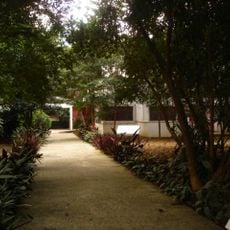
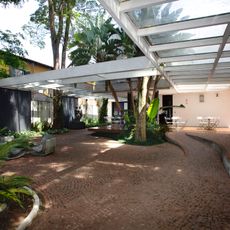
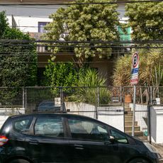
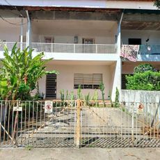
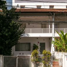
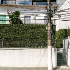
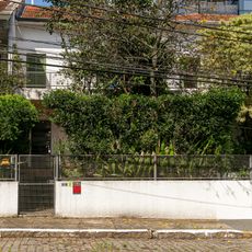
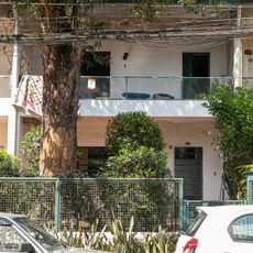
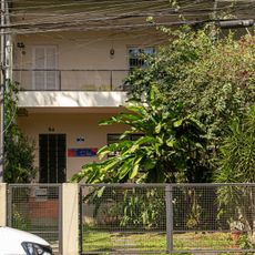
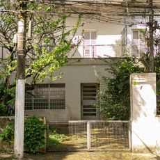
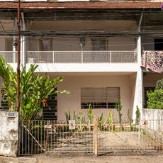
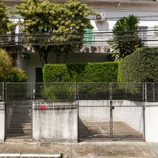
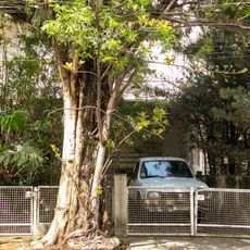
Saúde District is an administrative area in southern São Paulo that encompasses several neighborhoods connected by residential streets and commercial zones. The district is bordered by five neighboring areas and contains a mix of older residential blocks and newer urban development.

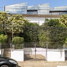
The district formed as São Paulo expanded southward and gradually developed through recent decades. Its character shifted from a purely residential area into a more mixed urban zone as the city grew around it.

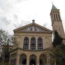
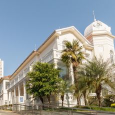
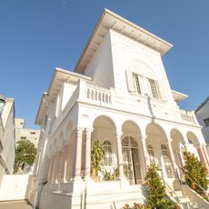
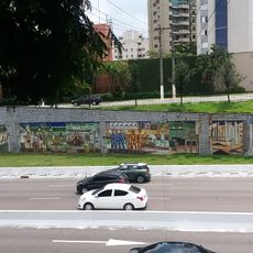
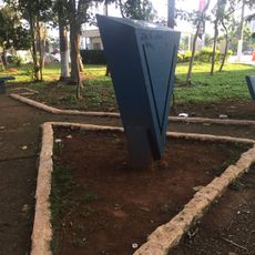
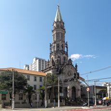
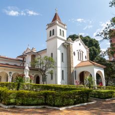
The district is home to the Church of Our Lady of Good Health, a landmark that stands out in the local landscape. Residential areas and shopping zones blend together throughout the neighborhoods, creating a daily rhythm where family life and commerce coexist.

The Blue Line of the subway connects the district to other parts of the city through multiple stations. Public transportation makes it straightforward to explore the neighborhoods on foot or to travel quickly to other districts.

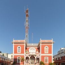
The district stands out for a notably high development level with significant economic and social progress evident throughout. This advancement shows in the modern infrastructure and well-equipped schools and services that serve the area.

The community of curious travelers

AroundUs brings together thousands of curated places, local tips, and hidden gems, enriched daily by 60,000 contributors worldwide.

Start exploring
Location
GPS coordinates
-23.61518,-46.64339
Latest update
December 7, 2025 19:25
« Saúde District - Administrative district in southern São Paulo, Brazil » is provided by Around Us (aroundus.com). Images and texts are derived from Wikimedia project under a Creative Commons license. You are allowed to copy, distribute, and modify copies of this page, under the conditions set by the license, as long as this note is clearly visible.

Discover hidden gems everywhere you go!

From secret cafés to breathtaking viewpoints, skip the crowded tourist spots and find places that match your style. Our app makes it easy with voice search, smart filtering, route optimization, and insider tips from travelers worldwide. Download now for the complete mobile experience.

Around Us App Screenshot

A unique approach to discovering new places

Le Figaro

All the places worth exploring

France Info

A tailor-made excursion in just a few clicks

20 Minutes

Around Us
Travel Guide & Maps
Download

Send to your phone

QR Code
1

Open the camera app on your mobile.

2

Point at the QR code with your camera. A notification will appear.

3

Tap the notification to open the link.