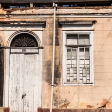
Morungaba, Municipality in São Paulo, Brazil.
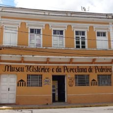
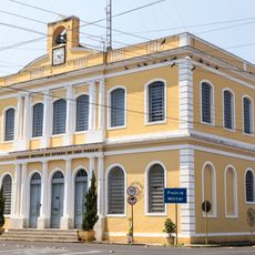
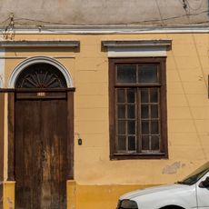
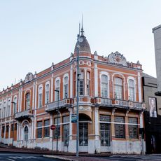
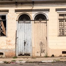
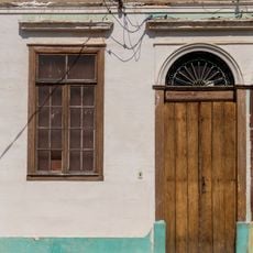
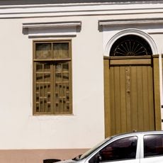
Morungaba is a municipality in the Campinas Metropolitan Region with an area of roughly 146 square kilometers and sits at an elevation of 765 meters. The town is shaped by its rural character, with schools and healthcare facilities serving the community.
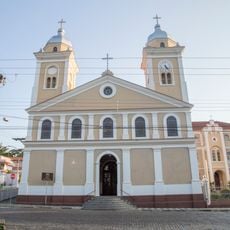
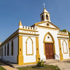
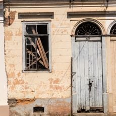
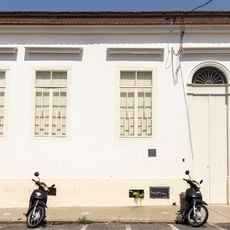
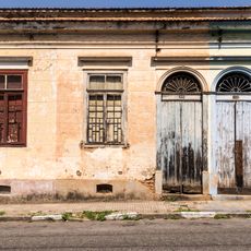
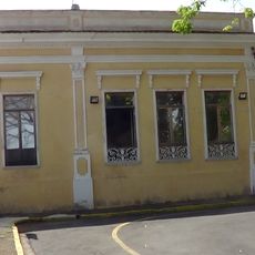
The settlement began in 1888 as Conceição de Barra Mansa when José Alves Cardoso and residents donated land for a chapel. The locality gradually developed as a rural community over the following decades.
The name Morungaba comes from the Tupi-Guarani language and refers to the many bees that lived in the region during its early days. This heritage connects the place to its natural history.
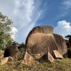
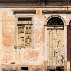
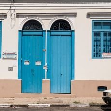
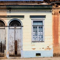
The municipality lies in the inland area with good access to surrounding towns in the Campinas region. Visitors will find rural roads and quiet areas, so comfortable footwear and time to explore at a slower pace work well here.
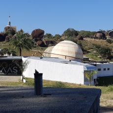
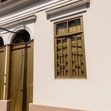
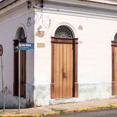
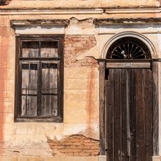
The municipality was designated as a climatic resort by the state government in 1994 and received access to tourism development funds. This recognition brought new attention to the rural locale and opened new possibilities for growth.
Location: São Paulo
Elevation above the sea: 765 m
Shares border with: Itatiba, Amparo, Bragança Paulista, Campinas, Pedreira, Tuiuti, Valinhos
Website: http://morungaba.sp.gov.br
GPS coordinates: -22.88000,-46.79167
Latest update: December 7, 2025 19:25
Parque Pico Das Cabras
4.4 km
Museu Histórico e da Porcelana de Pedreira
19.6 km
Museu de História Natural Zooparque Itatiba
19.3 km
Antiga Intendência
19.9 km
St. Benedict's Church
20 km
Museu Aberto de Astronomia
4.4 km
Heritage listed building at Rua Ana Cintra, 435
20 km
Heritage listed building at Rua Ana Cintra, 437
20 km
St. Sebastian's Church
18.5 km
Heritage listed building at Rua Ana Cintra, 375
20 km
Heritage listed building at Rua Ana Cintra, 357
20 km
Prefeitura Municipal
20 km
Baroneza
15.4 km
Heritage listed building at Rua Ana Cintra, 393
20 km
Heritage listed building at Rua Ana Cintra, 349
20 km
Heritage listed building at Rua Ana Cintra, 427
20 km
Heritage listed building at Rua Ana Cintra, 391
20 km
Heritage listed building at Rua Ana Cintra, 399
20 km
Heritage listed building at Rua Ana Cintra, 385
20 km
Heritage listed building at Rua Ana Cintra, 383
20 km
Heritage listed building at Rua Ana Cintra, 363
20 km
Heritage listed building at Rua Ana Cintra, 347
20 km
Heritage listed building at Rua Ana Cintra, 333
20 km
Heritage listed building at Rua Ana Cintra, 419
20 km
Heritage listed building at Rua Ana Cintra, 409
20 km
Heritage listed building at Rua Ana Cintra, 411
20 km
Heritage listed building at Rua Ana Cintra, 417
20 km
Sobrado Na Praça da Bandeira, 55
19.9 kmVisited this place? Tap the stars to rate it and share your experience / photos with the community! Try now! You can cancel it anytime.
Discover hidden gems everywhere you go!
From secret cafés to breathtaking viewpoints, skip the crowded tourist spots and find places that match your style. Our app makes it easy with voice search, smart filtering, route optimization, and insider tips from travelers worldwide. Download now for the complete mobile experience.
A unique approach to discovering new places❞
— Le Figaro
All the places worth exploring❞
— France Info
A tailor-made excursion in just a few clicks❞
— 20 Minutes