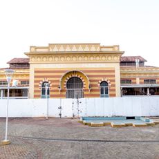
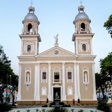
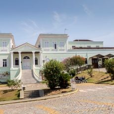
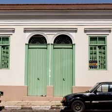
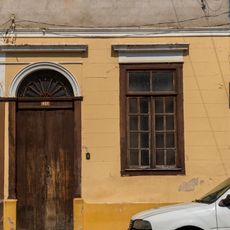
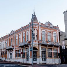
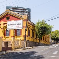
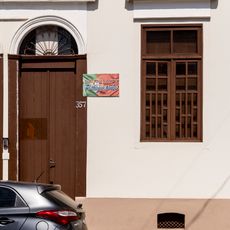
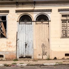
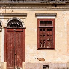
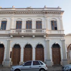
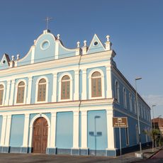
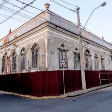
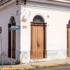
Amparo, Historical municipality in São Paulo state, Brazil.
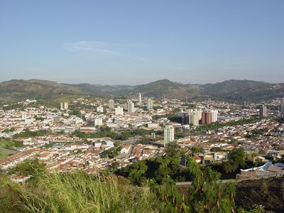
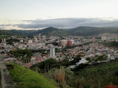
Amparo is a municipality in São Paulo state located approximately 120 kilometers from the capital in hilly terrain. The area spans around 445 square kilometers and features natural springs and mineral water sources throughout its territory.
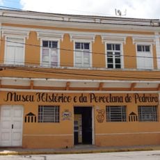
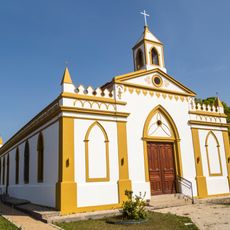
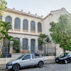
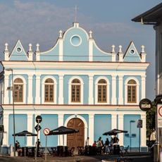
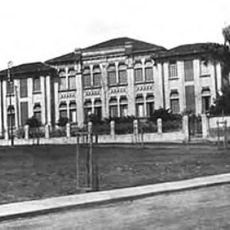
The settlement gained recognition as a chapel district in 1829 and developed as coffee production expanded across the region. A defining moment came with Emperor Dom Pedro II's visit in 1878, marking the area's growing importance.
The Winter Festival in July draws musicians performing traditional sertanejo and contemporary metal across town venues. The event reflects how the community values music from many different styles and brings people together throughout the month.
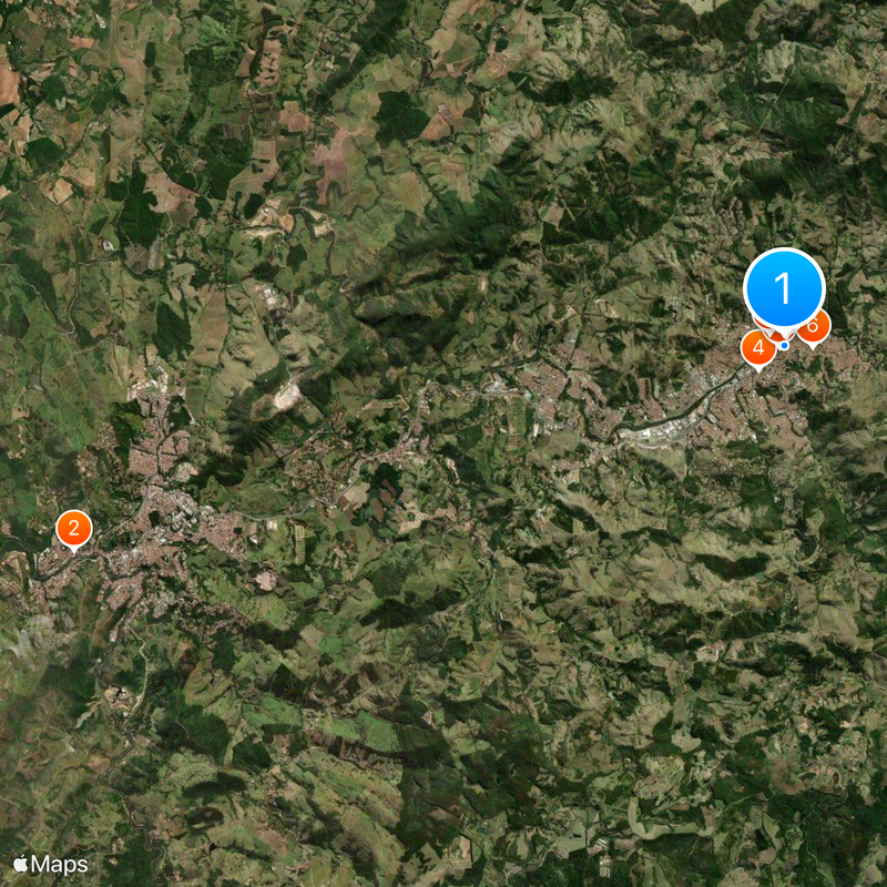
The town connects to larger cities through regular public transportation and offers several accommodation options near the center. Visitors can easily find local restaurants, shops, and services clustered around the downtown area.
The town sits within the Water Circuit region of São Paulo, an area known for its mineral springs and natural water sources. These water resources shape local life and draw visitors interested in the restorative qualities of the springs.
The community of curious travelers
AroundUs brings together thousands of curated places, local tips, and hidden gems, enriched daily by 60,000 contributors worldwide.