Piracaia, Municipality in São Paulo, Brazil
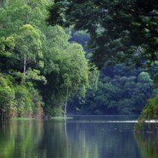
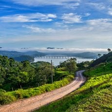
Piracaia is a municipality in São Paulo located in southeastern Brazil at an elevation of 792 meters. The landscape features forests and agricultural areas that shape daily life in the region.
The town was originally called Santo Antônio da Cachoeira before being renamed to Piracaia in 1906. This change in name reflected shifts in how the settlement identified itself.
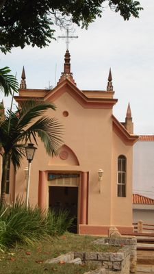
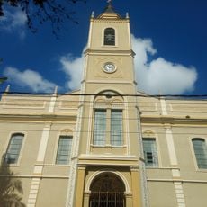
The Igreja das Almas sits at the center of town and reflects local religious beliefs and construction methods from earlier times. It shapes how the community gathers and remembers its roots.
The town connects to larger urban areas through well-maintained roads that link the region to other parts of São Paulo state. Getting around the area is straightforward for visitors.
The area around Piracaia mixes forests and farmland in a way that keeps development and nature in balance. This combination allows visitors to experience both rural traditions and modern community life side by side.
The community of curious travelers
AroundUs brings together thousands of curated places, local tips, and hidden gems, enriched daily by 60,000 contributors worldwide.