Guaratinguetá

Log in to your account

AroundUs is a community-driven map of interesting places, built by curious explorers like you. It grows with every review, story, and photo you share.
Connect to save your favorite spots, contribute locations, and create personalized routes.
Continue with Google
Continue with Apple
Continue with X
Continue with Facebook
Continue with email
By continuing, you accept our Terms and Conditions and our Privacy Policy
Create an account
Add to collection
Map
Suggest a change
Share

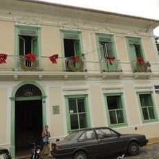
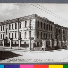
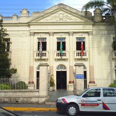
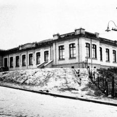
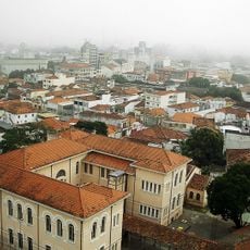
Guaratinguetá, City center in São Paulo, Brazil

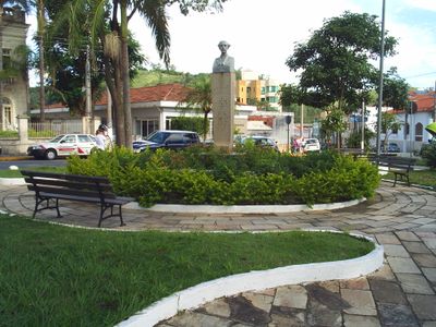
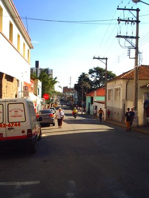
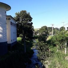
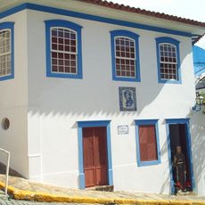
Guaratinguetá is a town in São Paulo state that spreads at the foot of the Mantiqueira Mountains and sits at an elevation of around 530 meters (1,740 feet) above sea level. The center mixes colonial architecture with modern buildings and is crossed by wide streets that lead down toward the Paraíba do Sul river.

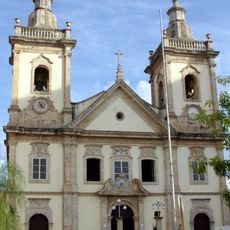
Portuguese settlement began on June 13, 1630, when Jacques Felix and his children built a chapel that marked the start of the town. Over the centuries, the place grew into an important stop on the route between Rio de Janeiro and São Paulo.

The name comes from Tupi language words gûyra, tinga, and etá, which together describe a place where white herons gather. These birds were once common in the region and shaped the appearance of the river landscape before European settlers arrived.

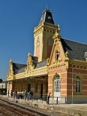
The center is easy to explore on foot, with most public buildings and churches clustered close together along the main streets. A small airfield and several rail connections make arriving from larger cities straightforward.

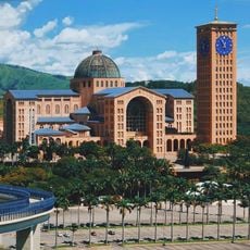
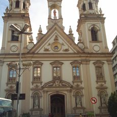
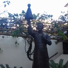
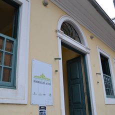
This is the birthplace of Frei Galvão, the first native Brazilian to be declared a saint by the Catholic Church. Francisco de Paula Rodrigues Alves, who served twice as president of the country, also came from this town and played a major role in modernizing Brazil in the early 20th century.

Location: São Paulo

Inception: June 13, 1630

Elevation above the sea: 530 m

Shares border with: Campos do Jordão, Cunha, Aparecida, Delfim Moreira, Lagoinha, Lorena, Pindamonhangaba, Piquete, Potim

Website: http://guaratingueta.sp.gov.br

GPS coordinates: -22.81667,-45.22778

Latest update: December 13, 2025 17:59

Photos
Reviews

Visited this place? Tap the stars to rate it and share your experience / photos with the community! Try now! You can cancel it anytime.

« Guaratinguetá - City center in São Paulo, Brazil » is provided by Around Us (aroundus.com). Images and texts are derived from Wikimedia project under a Creative Commons license. You are allowed to copy, distribute, and modify copies of this page, under the conditions set by the license, as long as this note is clearly visible.

Discover hidden gems everywhere you go!

From secret cafés to breathtaking viewpoints, skip the crowded tourist spots and find places that match your style. Our app makes it easy with voice search, smart filtering, route optimization, and insider tips from travelers worldwide. Download now for the complete mobile experience.

Around Us App Screenshot

A unique approach to discovering new places

Le Figaro

All the places worth exploring

France Info

A tailor-made excursion in just a few clicks

20 Minutes