Engenheiro Coelho, Municipality in São Paulo state, Brazil.
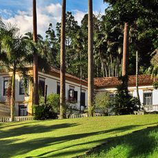
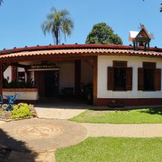
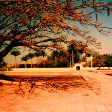
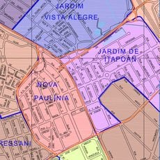
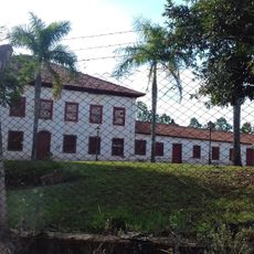
Engenheiro Coelho is a municipality in eastern São Paulo state covering approximately 110 square kilometers at an elevation of about 655 meters. The area combines agricultural land with educational facilities that serve both local residents and students from across the region.
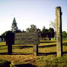
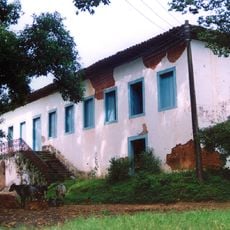
The area developed as a rural settlement and became an independent municipality on May 19, 1991. This establishment transformed a farming community into a formally recognized administrative entity.
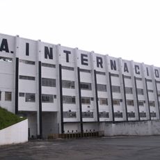
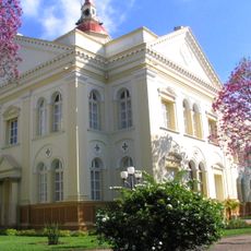
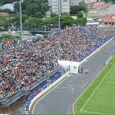
The Seventh-day Adventist University shapes the local community through its educational mission and presence in the region. Students and staff from different backgrounds contribute to a multicultural environment that extends beyond the campus.
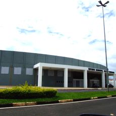
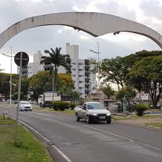
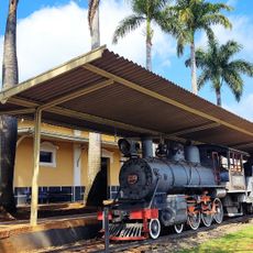
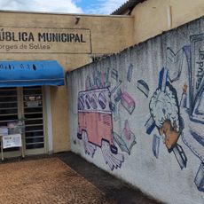
The municipality is accessible for those wishing to explore the educational campus or rural areas, with local services available throughout the region. Visitors should expect smaller-town infrastructure and plan accordingly for local transportation options.
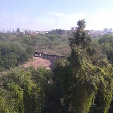
The region is known for growing oranges, sugarcane, and cassava, which form the economic backbone of the municipality. These agricultural products are widely exported to surrounding markets and shape the visible landscape.
GPS coordinates: -22.48967,-47.21190
Latest update: December 7, 2025 19:28
Estádio Major José Levy Sobrinho
19.2 km
Saint Anthony Church
30.3 km
Povos Unidos Windmill
21.5 km
Fazenda Morro Azul
29.1 km
Holambra History Museum
22.1 km
Estádio Décio Vitta
30.6 km
Fazenda Salto Grande
24.1 km
Estádio Municipal Alfredo Chiavegato
30.9 km
Basílica Nossa Senhora do Patrocínio
23.1 km
Museum of Biblical Archeology Paulo Bork
5 km
Fazenda Itapema
18.8 km
Área de Relevante Interesse Ecológica Matão de Cosmópolis
30.4 km
Estádio Municipal Luís Perissinotto
30.8 km
Fazenda Quilombo
29.3 km
Fazenda Tatu
24.2 km
Tourist Portal
28.1 km
Complexo Viário SP 332-PLN 010/020
31.9 km
Museu de Arqueologia Bíblica - (MAB/UNASP)
4.9 km
Prédio da antiga estação ferroviária de Jaguariúna (ABPF)
32.9 km
Carioba Industrial Complex
27.9 km
Casa de Cultura Hermann Müller
27.7 km
G V Deutsche Eiche German School
14.8 km
Memorial Padre Gomes - Casa da Memória de Jaguariúna
33.3 km
Fazenda da Barra
32.1 km
Cineflix Buriti Shopping Mogi Guaçu
29.6 km
Fórum de Araras
23 km
Casarão - Museu Histórico e Pedagógico Conselheiro Carrão
24.2 km
Biblioteca Pública Municipal "Valter Borges de Salles
31.6 kmVisited this place? Tap the stars to rate it and share your experience / photos with the community! Try now! You can cancel it anytime.
Discover hidden gems everywhere you go!
From secret cafés to breathtaking viewpoints, skip the crowded tourist spots and find places that match your style. Our app makes it easy with voice search, smart filtering, route optimization, and insider tips from travelers worldwide. Download now for the complete mobile experience.
A unique approach to discovering new places❞
— Le Figaro
All the places worth exploring❞
— France Info
A tailor-made excursion in just a few clicks❞
— 20 Minutes