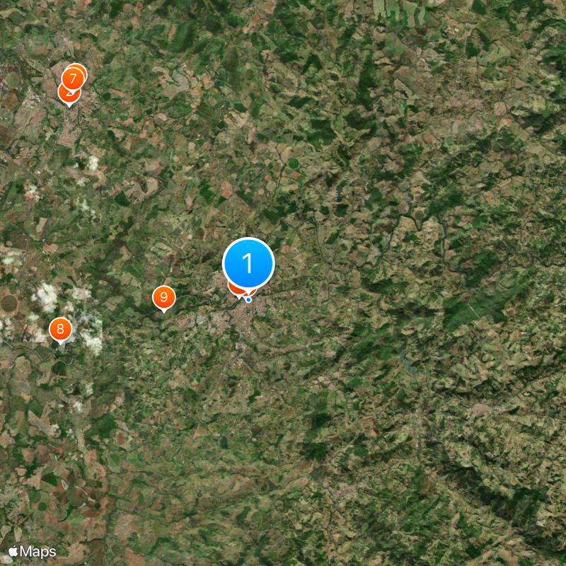
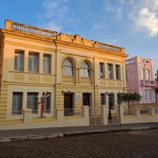
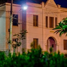
São José do Rio Pardo, Municipality in northwestern São Paulo, Brazil
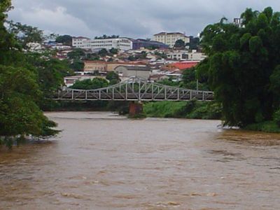
São José do Rio Pardo is a municipality in northwestern São Paulo state situated at 676 meters elevation. The area spans agricultural land where crops are grown and food processing operations support the local economy.
A chapel dedicated to Saint Joseph was established in 1870 under Colonel Antônio Marçal Nogueira de Barros, marking the settlement's beginning. The area gained municipal status in 1885.
Italian newcomers after 1888 shaped local ways of life and left their mark on how agriculture is practiced in the region. Their traditions influenced the character of the community and remain visible in local work methods.
The municipality is accessible by road and rail connections to larger cities nearby. Transport routes support the movement of agricultural goods and aid daily commerce.
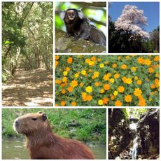
The area produces a wide range of crops including oranges, coffee, cotton, rice, and beans. This agricultural diversity plays a notable role in the broader regional food production.
Location: São Paulo
Inception: 1870
Elevation above the sea: 676 m
Shares border with: Mococa, Divinolândia, Itobi, Caconde, Casa Branca, São Sebastião da Grama, Tapiratiba
Website: http://saojosedoriopardo.sp.gov.br
GPS coordinates: -21.59583,-46.88889
Latest update: December 20, 2025 00:32
Parque Ecológico São Sebastião
18 km
Casa de Zinco
154 mMuseu de Artes Plásticas Quirino da Silva
18.5 km
Casa de Cultura Rogério Cardoso
18.5 km
Ponte Metálica Euclides da Cunha
687 mE.E. Barão Monte Santo
18.5 kmLimoeiro Reservoir
13.1 kmEuclides da Cunha Reservoir
5.8 kmCine A Colombo
326 mCasa da Cultura Rogério Cardoso
18.3 km
Antiga Casa de Câmara e Cadeia de São José do Rio Pardo
68 mCasa da Sesmaria
18.6 kmMuseu Histórico e Pedagógico Marquês de Três Rios
18.3 kmMuseu de Artes Sacra Iria Josepha da Silva
18.3 kmPainel Da Cidadania
20.3 kmEstádio Professor Francisco de Paula Nabuco
20 kmPraça Zico Giunti
20.2 kmFonte
20.2 kmCristo Redentor
20.6 kmParque Ecológico Manoel Aráujo Neto
20.7 kmParóquia Nossa Senhora Aparecida
20.3 kmPraça Dona Esméria Ribeiro do Valle Figueiredo
20.3 kmTeatro Pedro Ângelo Camin
18.6 kmCristo Redentor
15.3 kmWork of art, statue
20 kmScenic viewpoint
20.6 kmIgreja do Pontal
18.4 kmTourist attraction, drinking fountain, pavement, waterfall
20.4 kmVisited this place? Tap the stars to rate it and share your experience / photos with the community! Try now! You can cancel it anytime.
Discover hidden gems everywhere you go!
From secret cafés to breathtaking viewpoints, skip the crowded tourist spots and find places that match your style. Our app makes it easy with voice search, smart filtering, route optimization, and insider tips from travelers worldwide. Download now for the complete mobile experience.
A unique approach to discovering new places❞
— Le Figaro
All the places worth exploring❞
— France Info
A tailor-made excursion in just a few clicks❞
— 20 Minutes