Sao Jose do Barreiro, Administrative division in Vale do Paraíba Paulista, Brazil
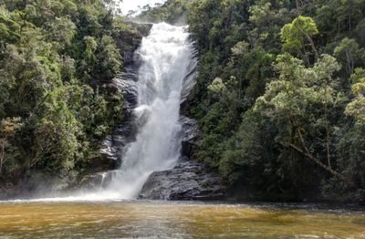
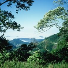
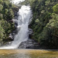
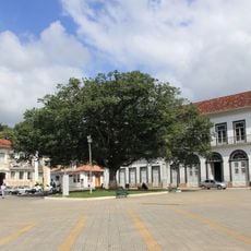
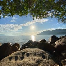
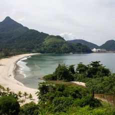
São José do Barreiro is a municipality in the mountainous Vale do Paraíba Paulista region of São Paulo state, with terrain that rises and falls across the landscape. The area includes portions of Serra da Bocaina National Park, surrounded by forested hills and valleys.
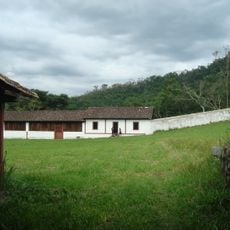
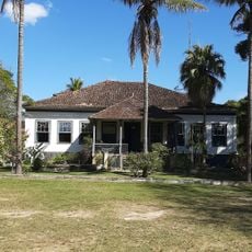
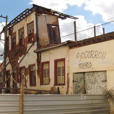
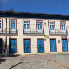
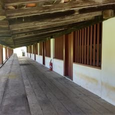
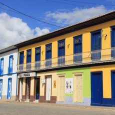
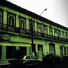
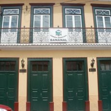
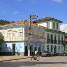
The settlement began as a small community and grew as farming expanded across the Vale do Paraíba region. Over time it developed into an established municipality with its own local government and administrative structure.
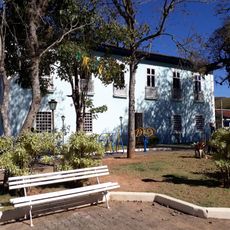
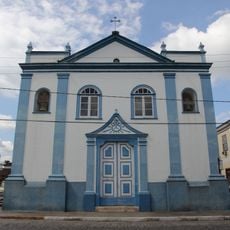
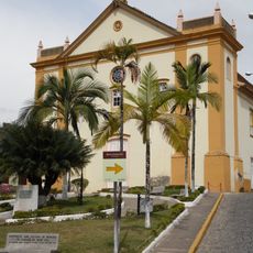
Throughout the year, local festivals feature traditional Brazilian music and regional food that reflect the heritage of São Paulo state. These celebrations show how the community keeps its roots and identity alive.
The terrain is hilly and requires patience with winding roads as you move through the municipality. Plan your visit during drier months when outdoor activities and exploration are most comfortable.
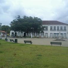
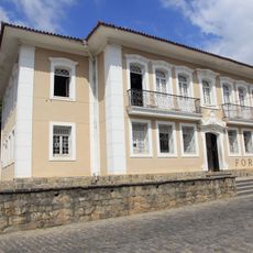
The Municipal Chamber holds public hearings where residents can speak about budget planning and financial matters that affect their community. This direct participation allows local people to influence decisions that shape how their town develops.
GPS coordinates: -22.64524,-44.58052
Latest update: December 7, 2025 20:43
Serra da Bocaina National Park
36.5 km
Observatório Nuclear
41.8 km
Pharmácia Popular
26.6 km
Fazenda Pau d'Alho
2.8 km
Fazenda dos Coqueiros
22.8 km
Solar Aguiar Valim
26.8 km
Cachoeira Santo Isidro
11.9 km
Casas de Câmara e Cadeias
14.1 km
Sobrado do Capitão Silveira
27.9 km
Sobrado na Rua Nove de Julho, 136
13.9 km
Fazenda Pau d'alho
2.8 km
Centro Histórico de Bananal
26.9 km
Sobrado na Rua Quinze de Novembro
14 km
Igreja do Rosário
26.9 km
Building at Avenida Bom Jesus, 93
27 km
Igreja Matriz
26.8 km
Paraty and Ilha Grande – Culture and Biodiversity
42.9 km
Building at Praça Pedro Ramos, 45
26.8 km
Building at Rua Manoel de Aguiar, 161
26.6 km
Building at Praça Rubião Júnior, 305
26.9 km
Building at Rua Manoel de Aguiar, 51
26.7 km
Building at Rua Manoel de Aguiar, 155
26.6 km
Building at Rua Manoel de Aguiar, 151
26.6 km
Casa do Capitão-Mor e Casa Vizinha
13.9 km
Brava Beach
41.5 km
Nossa Senhora do Rosário Church
42.8 km
Mambucaba Beach
43.1 km
Central Mill of Bracuhy
38.9 kmVisited this place? Tap the stars to rate it and share your experience / photos with the community! Try now! You can cancel it anytime.
Discover hidden gems everywhere you go!
From secret cafés to breathtaking viewpoints, skip the crowded tourist spots and find places that match your style. Our app makes it easy with voice search, smart filtering, route optimization, and insider tips from travelers worldwide. Download now for the complete mobile experience.
A unique approach to discovering new places❞
— Le Figaro
All the places worth exploring❞
— France Info
A tailor-made excursion in just a few clicks❞
— 20 Minutes