Serra da Bocaina National Park
Serra da Bocaina National Park, National park between São Paulo and Rio de Janeiro states, Brazil
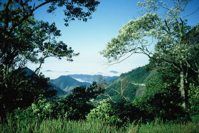
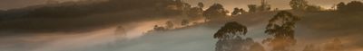
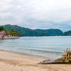
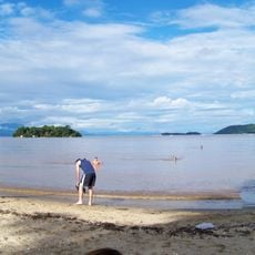
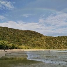
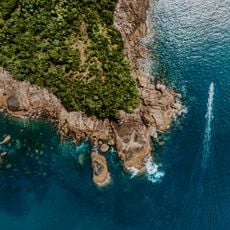
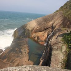
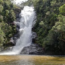
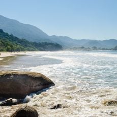
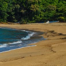
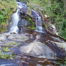
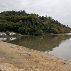
Serra da Bocaina National Park is a protected area spanning two states with Atlantic Forest vegetation, mountainous terrain, and multiple waterfalls throughout its landscape. The forest contains many plant and animal species adapted to this type of mountain environment.
The park was established in 1971 as a federal effort to protect remaining Atlantic Forest areas threatened by deforestation. This decision marked an important moment in Brazil's approach to safeguarding the region's natural heritage.
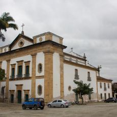
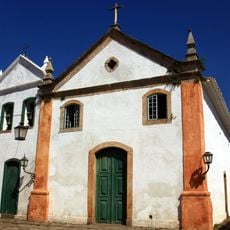
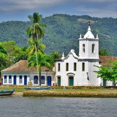
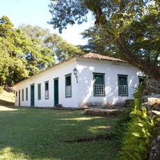
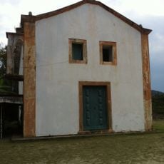
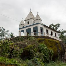
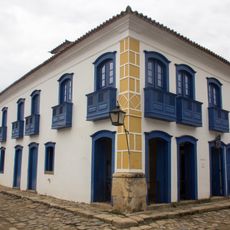
The communities around this protected area practice farming traditions that developed during the coffee-growing era. Visitors can observe how locals continue these methods in their daily work and in the way they use the land.
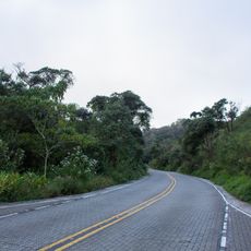
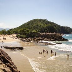
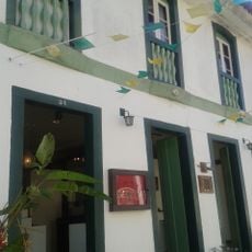
Plan your visit during drier months when trails are easier to navigate and waterfalls are safely accessible. The park headquarters in São José do Barreiro provides maps and guidance for exploring the different routes.
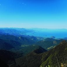
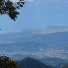
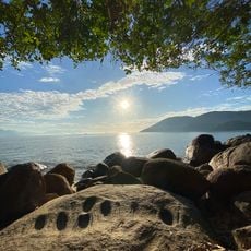
Pico do Tira o Chapéu, the park's tallest peak at about 2,088 meters (6,850 feet), ranks among the highest elevations in São Paulo state. Standing on this summit offers views that stretch across the two states below.
Location: Southeast Region
Location: São José do Barreiro
Location: Rio de Janeiro
Location: São Paulo
Inception: 1971
Operator: Instituto Chico Mendes de Conservação da Biodiversidade
Part of: Paraty and Ilha Grande – Culture and Biodiversity
Email: pnsb.rj@icmbio.gov.br
Website: http://icmbio.gov.br/parnaserradabocaina
GPS coordinates: -22.96300,-44.67000
Latest update: December 6, 2025 16:02
Southeast Brazil spans the states of São Paulo, Rio de Janeiro, Minas Gerais and Espírito Santo, offering coastal landscapes, mountain villages, caves and waterfalls. The region preserves colonial-era trails, grottos with underground formations and islands with light visitor traffic. Sites show how...
Santa Rita de Cássia Church (Paraty, Rio de Janeiro, Brazil)
29 km
Mother Church of Our Lady of Remedies
28.7 km
Observatório Nuclear
21.5 km
RJ-165
30.6 km
Laboratory Beach
23.7 km
Boa Vista Villa
29.7 km
Jabaquara Beach
27.5 km
Church of Our Lady of the Rosary and Saint Benedict
28.8 km
Church of Our Lady of Sorrows
28.7 km
Parati Mirim State Park
31.3 km
Cairuçu Environmental Protection Area
35.1 km
Tamoios Ecological Station
20.9 km
Bocaina Mosaic
36.7 km
Paraty Bay, Paraty-Mirim and Saco do Mamanguá Environmental Protection Area
28.2 km
Juatinga Ecological Reserve
37.7 km
Perpétuo Defensive Fort
28 km
Middle Beach
43.9 km
Cachoeira Santo Isidro
24.6 km
Praia do Cachadaço
44.3 km
Church of Our Lady of the Conception of Paraty Mirim
31.1 km
Praia de Camburi das Pedras
46.8 km
Igreja de Nossa Senhora da Penha
30.6 km
Marisa Bidone Ateliê
29 km
Cachoeira do Mato Limpo
28.8 km
Paraty and Ilha Grande – Culture and Biodiversity
6.4 km
Ponte do Pontal
28.7 km
Praia do Pontal
28.4 km
Casa da Cultura Câmara Torres
28.8 kmVisited this place? Tap the stars to rate it and share your experience / photos with the community! Try now! You can cancel it anytime.
Discover hidden gems everywhere you go!
From secret cafés to breathtaking viewpoints, skip the crowded tourist spots and find places that match your style. Our app makes it easy with voice search, smart filtering, route optimization, and insider tips from travelers worldwide. Download now for the complete mobile experience.
A unique approach to discovering new places❞
— Le Figaro
All the places worth exploring❞
— France Info
A tailor-made excursion in just a few clicks❞
— 20 Minutes