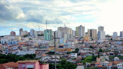
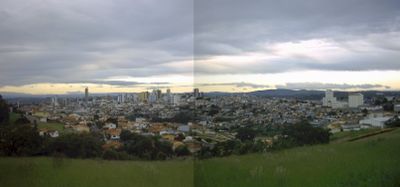
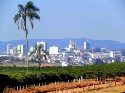
Varginha, Coffee trading center in Minas Gerais, Brazil
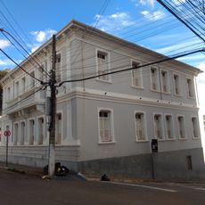
Varginha is a Brazilian city in southern Minas Gerais known for its Arabica coffee trade. The city sits at an elevation of around 980 meters (3,215 feet) and includes warehouses, processing facilities, and residential neighborhoods spread across gentle hills.
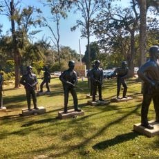
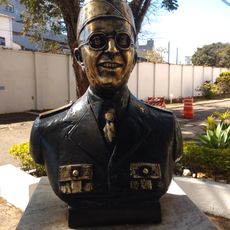
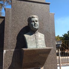
Settlement began in 1780 when mule drivers built a chapel, and the originally named Catanduvas village emerged over the following decades. Italian immigrants arrived in the late 19th century and brought coffee cultivation methods that transformed the region.
Italian immigrants in the late 19th century introduced coffee cultivation methods that transformed the municipality into a principal coffee production region.
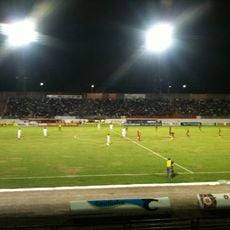
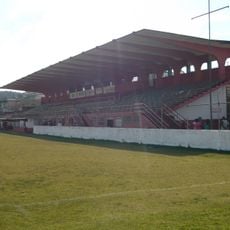
Highways connect the city with São Paulo, Rio de Janeiro, and Belo Horizonte, and an airport offers commercial flights. The center can be explored on foot, while a car or bus is practical for the surrounding area.
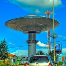
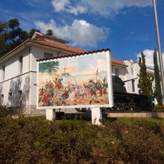
Following reported sightings in 1996, the city built numerous spaceship-shaped objects, including bus stops and water towers. Tourists find these structures throughout the city, where they serve as distinctive landmarks.
The community of curious travelers
AroundUs brings together thousands of curated places, local tips, and hidden gems, enriched daily by 60,000 contributors worldwide.