Minas Gerais, Administrative division in southeastern Brazil
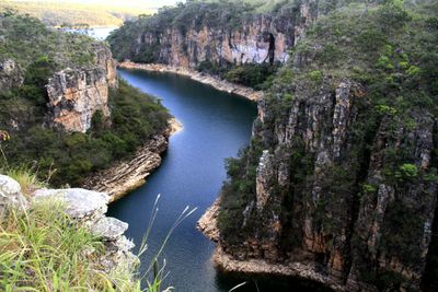
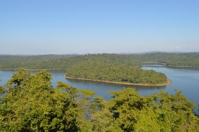
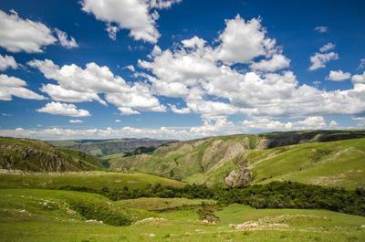
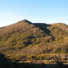
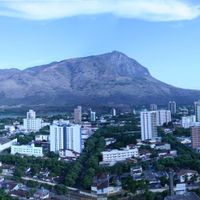
This administrative division sits in southeastern Brazil, covering broad highlands marked by mountain ranges, valleys, and elevated plateaus. The territory stretches between the states of São Paulo and Bahia, forming a landscape of tropical forests and stretches of savanna.
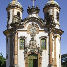
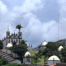
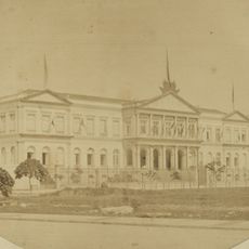
Portuguese settlers established mining operations in the area during the 1690s, triggering a gold rush that turned this region into the wealthiest province of colonial Brazil. Profits from gems and minerals later funded the construction of baroque churches and elaborate colonial towns still visible today.
In smaller towns and villages across the region, visitors often encounter musicians performing traditional folk songs accompanied by regional instruments like the viola caipira. This musical practice is woven into daily community life and frequently appears at religious festivals and celebrations honoring local patron saints.
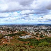
The territory contains many municipalities connected by an extensive network of roads that is large by Brazilian standards, making travel between cities and smaller towns possible. Visitors should expect considerable distances and note that some mountain roads become more challenging to navigate during rainy periods.
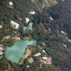
The region holds several natural thermal springs accessed by visitors, particularly in areas around Araxá, where warm water rises from deeper layers of the earth. These springs are popular with locals and travelers who come to soak in the mineral-rich baths for relaxation.
The community of curious travelers
AroundUs brings together thousands of curated places, local tips, and hidden gems, enriched daily by 60,000 contributors worldwide.