Montes Claros, Regional capital in northern Minas Gerais, Brazil
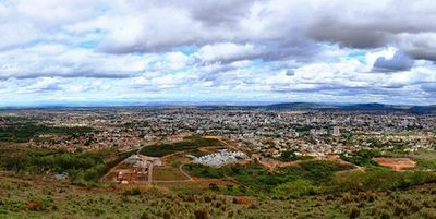
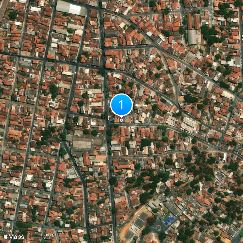
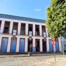
Located 417 kilometers from Belo Horizonte, Montes Claros extends across 3,569 square kilometers at an elevation of 895 meters above sea level.
The settlement originated in 1768 as Arraial de Formigas, transforming from a cattle ranch into a municipality with city status granted in 1857.
The annual ExpoMontes agricultural fair and the Festa de Agosto religious celebration represent the main traditional gatherings in the municipality.
Mario Ribeiro Airport provides daily flights to Belo Horizonte, while three public universities and five private colleges serve the educational needs.
The Lapa Grande cave system stretches for three kilometers underground, containing fossil remains and archaeological evidence of early human presence.
Location: Minas Gerais
Elevation above the sea: 895 m
Website: https://portal.montesclaros.mg.gov.br
Shares border with: Glaucilândia, Mirabela, Claro dos Poções, Coração de Jesus, Bocaiúva, São João da Lagoa, Patis, Francisco Sá, São João da Ponte, Juramento, Capitão Enéas
Website: https://portal.montesclaros.mg.gov.br
GPS coordinates: -16.73222,-43.86361
Latest update: May 26, 2025 19:18
Cavernas do Peruaçu National Park
185.9 km
Historic Centre of the Town of Diamantina
169.4 km
Sempre Vivas National Park
118 km
Serra do Cabral
129.2 km
St. Anthony Cathedral, Diamantina
170.7 km
Serra do Cabral State Park
129.2 km
Biribiri State Park
159.4 km
Casa da Glória
170.3 km
Church of Saint Francis of Assisi
170.6 km
Serra Nova State Park
158.4 km
Gruta do Janelão
184.3 km
Sobradão
145.4 km
Rio Preto State Park
169.3 km
Marshal Hermes da Fonseca Bridge
135.2 km
Grão Mogol State Park
115.4 km
Church of Our Lady of Protection
170.7 km
Lagoa do Cajueiro State Park
195.7 km
Cathedral of the Sacred Heart of Jesus, Janaúba
119.6 km
Igreja de Bom Jesus de Matozinhos
114.7 km
Rio Peruaçu canyon
185.3 km
Igreja de Nossa Senhora do Rosário
145.9 km
Museu do Diamante
170.7 km
Cinemais Montes Claros
1.5 km
Casa à Praça Juscelino Kubitschek
170.6 km
Mercado Municipal de Diamantina
170.7 km
Parque de Exposições de Janaúba
119 km
Road of the Slaves
163.6 km
Museu Regional do Norte de Minas
1.5 kmReviews
Visited this place? Tap the stars to rate it and share your experience / photos with the community! Try now! You can cancel it anytime.
Discover hidden gems everywhere you go!
From secret cafés to breathtaking viewpoints, skip the crowded tourist spots and find places that match your style. Our app makes it easy with voice search, smart filtering, route optimization, and insider tips from travelers worldwide. Download now for the complete mobile experience.
A unique approach to discovering new places❞
— Le Figaro
All the places worth exploring❞
— France Info
A tailor-made excursion in just a few clicks❞
— 20 Minutes