Enable Location

We need your location to show you interesting places around you

Discover nearby places

Find interesting locations and hidden gems around you

Precise directions

Get accurate directions and distances to places

Your location is never shared with other users. It's only used when you tap the location button.

Pico da Bandeira

Log in to your account

Start exploring — it's free

Trusted by 62,841 travelers worldwide

Continue with Google
Continue with Apple
or

We will send you a code to connect

By continuing, you accept our Terms and Conditions and our Privacy Policy

Check your inbox

We've sent a pincode in your inbox. Please enter the code below.

Pico da Bandeira

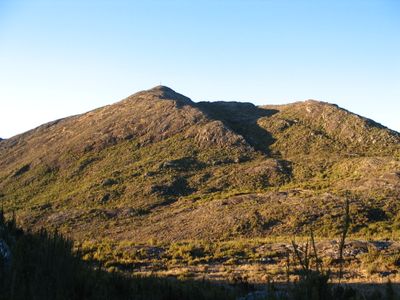
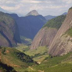
Pico da Bandeira, Mountain summit at Caparaó National Park, Brazil.

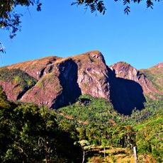
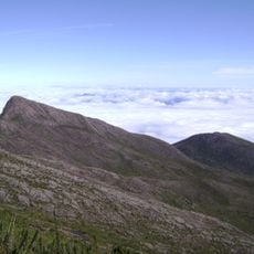
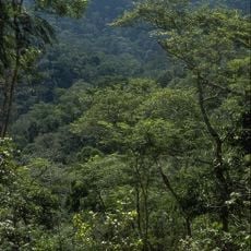
Pico da Bandeira is a mountain summit located in Caparaó National Park, reaching 2,892 meters in height and spanning across Espírito Santo and Minas Gerais states. The climb passes through multiple vegetation zones with grasslands, rock formations, and alpine plants visible along the route.

The peak was named after Emperor Pedro II ordered a national flag to be placed at the summit, marking it as a monument of national significance. This action established the location as a symbol of Brazilian presence in this cross-border region during the 19th century.

The peak marks a natural border between two Brazilian states, and visitors gather at the summit to experience sunrises and sunsets from this elevated vantage point.

The hiking route requires good physical fitness due to the steep climb and the time needed to reach the top, so an early start is recommended to return before darkness. Weather conditions can change rapidly at this elevation, making proper gear and attention to forecasts essential.

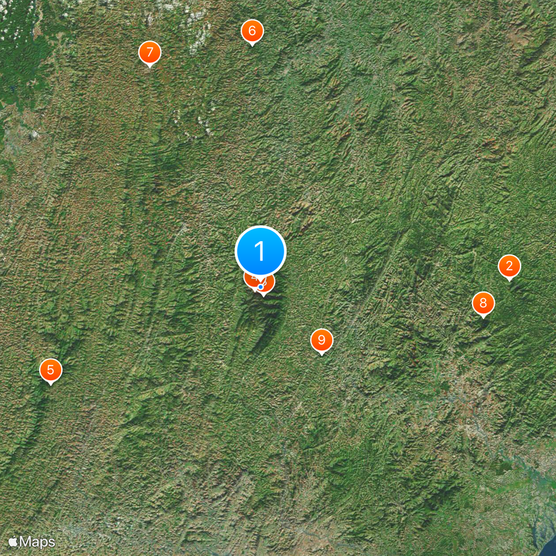
The mountain has exceptional topographic isolation from other peaks of similar height, which contributes to its prominence in the region. This isolation makes it a particularly distinctive landmark that stands out strongly from the surrounding landscape.

The community of curious travelers

AroundUs brings together thousands of curated places, local tips, and hidden gems, enriched daily by 60,000 contributors worldwide.

Start exploring
Location
Elevation above the sea
2,891.32 m
GPS coordinates
-20.43492,-41.79582
Latest update
December 14, 2025 17:54
« Pico da Bandeira - Mountain summit at Caparaó National Park, Brazil » is provided by Around Us (aroundus.com). Images and texts are derived from Wikimedia project under a Creative Commons license. You are allowed to copy, distribute, and modify copies of this page, under the conditions set by the license, as long as this note is clearly visible.

Discover hidden gems everywhere you go!

From secret cafés to breathtaking viewpoints, skip the crowded tourist spots and find places that match your style. Our app makes it easy with voice search, smart filtering, route optimization, and insider tips from travelers worldwide. Download now for the complete mobile experience.

Around Us App Screenshot

A unique approach to discovering new places

Le Figaro

All the places worth exploring

France Info

A tailor-made excursion in just a few clicks

20 Minutes

Around Us
Travel Guide & Maps
Download

Send to your phone

QR Code
1

Open the camera app on your mobile.

2

Point at the QR code with your camera. A notification will appear.

3

Tap the notification to open the link.