Sabará, Municipality in Minas Gerais, Brazil
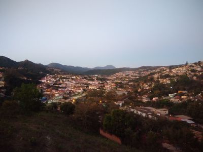
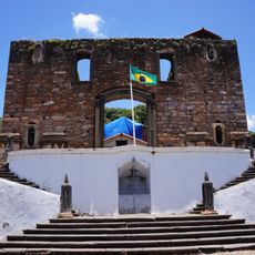
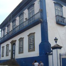
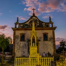
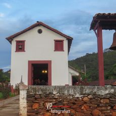
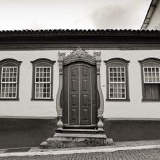
Sabará is a municipality in the metropolitan region of Belo Horizonte, in the state of Minas Gerais, Brazil, built around a colonial core of old stone houses and religious buildings. The city sits on hilly terrain crossed by the Rio das Velhas river.
The settlement grew in the late 17th century as prospectors moved into the region and gold was found in the local rivers. After mining declined, the town's growth slowed, but the colonial streetscape remained largely unchanged.
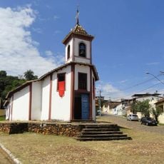
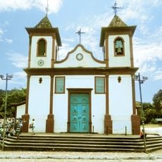
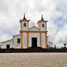
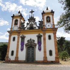
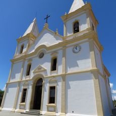
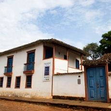
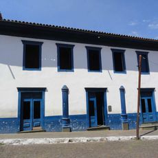
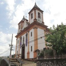
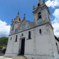
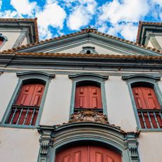
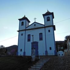
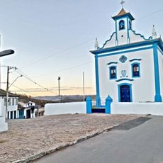
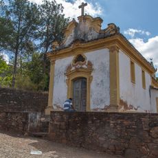
Sabará is known for its colonial baroque churches, which visitors can see on foot while walking through the historic center. The church of Nossa Senhora do Ó stands out for its interior decorated with Chinese-influenced ornaments, a reminder of the global trade routes that reached even this inland town.
Sabará sits a short distance from Belo Horizonte and is easy to reach by road or public bus. The historic center is compact, so walking is the most practical way to get around and see the main buildings.
The church of Nossa Senhora do Ó in Sabará contains Chinese tiles brought there through Portuguese trade networks, making it one of the few churches in Brazil with this kind of decoration. This detail points to the far-reaching connections that even a small inland mining town could have in the colonial period.
The community of curious travelers
AroundUs brings together thousands of curated places, local tips, and hidden gems, enriched daily by 60,000 contributors worldwide.