Serra da Piedade, Summit in Caeté, Minas Gerais, Brazil.
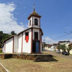
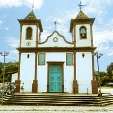
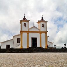
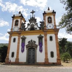
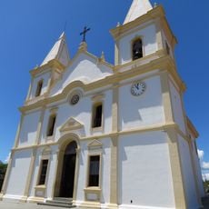
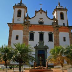
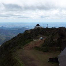
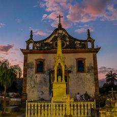
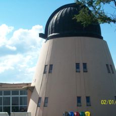
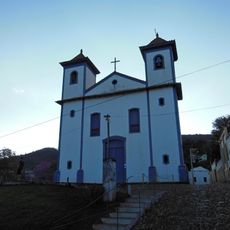
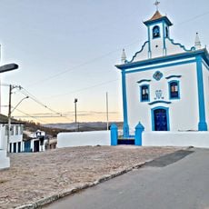
Serra da Piedade is a geological formation in Caeté, Minas Gerais, reaching 1,746 metres above sea level. It continues the Serra do Curral and marks the northern limit of the Quadrilátero Ferrífero. At the summit stands the Capela de Nossa Senhora da Piedade, begun around 1704, alongside the UFMG astronomical observatory and CINDACTA radar installations.
The range was known from the early 17th century; a royal letter of 23 March 1664 credits Lourenço Castanho Taques with opening the "Sertões de Caeté". It is the same range as Sabarabuçu, tied to silver-mine legends that drew adventurers from the late 16th century. The summit chapel was begun around 1704 and finished around 1770.
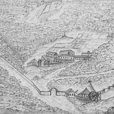
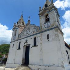
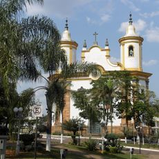
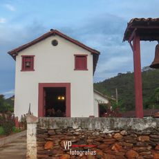
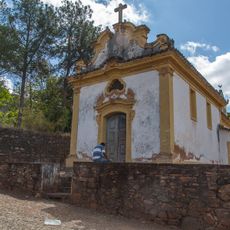
The summit is the sanctuary of Nossa Senhora da Piedade, patroness of Minas Gerais, and a traditional pilgrimage destination. The chapel, begun around 1704 and finished around 1770, is the only historic building preserved on the mountain. In 1817 the French naturalist Auguste de Saint-Hilaire spent several days here, noting hermits and pilgrims living in buildings around the church, among them the penitent Sister Germana, whom locals took for a saint.
Access is via the BR-381 followed by the MG-435, entering at the interchange for Caeté; the route to the sanctuary covers about 5 km. From central Belo Horizonte the drive takes roughly 1 hour 15 minutes on a winding road, and the site is Caeté's first tourist stop.
The summit also hosts radars of CINDACTA, the Brazilian air-traffic control agency, which monitors the region's skies from this height. The same winds that bring winter frost keep the antennas company beside the sanctuary. The astronomical observatory of UFMG shares the ridge with them.
The community of curious travelers
AroundUs brings together thousands of curated places, local tips, and hidden gems, enriched daily by 93,010 contributors worldwide.