Enable Location

We need your location to show you interesting places around you

Discover nearby places

Find interesting locations and hidden gems around you

Precise directions

Get accurate directions and distances to places

Your location is never shared with other users. It's only used when you tap the location button.

Ibirité

Log in to your account

Start exploring — it's free

Trusted by 63,130 travelers worldwide

Continue with Google
Continue with Apple
or

We will send you a code to connect

By continuing, you accept our Terms and Conditions and our Privacy Policy

Check your inbox

We've sent a pincode in your inbox. Please enter the code below.

Discussion Reviews 2 Photos
33.7k Popularity

Ibirité, Municipality in Belo Horizonte metropolitan region, Brazil

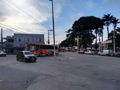
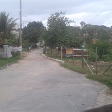
Ibirité is a municipality in the Belo Horizonte metropolitan region, situated at approximately 870 meters in elevation within Minas Gerais state. The city spans roughly 73 square kilometers of hilly terrain with natural landscape features characteristic of central Brazil.

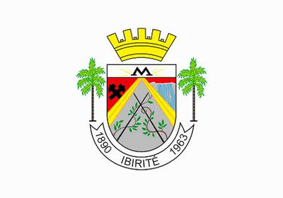
Settlement began in 1880 as the village of Pantano de Vargas within Sabará parish before becoming an independent municipality in 1963. This transformation from a rural village to a separate city reflects the region's growth and development over several decades.

The name comes from the indigenous Tupi language and refers to the iron-rich lands and forests that once covered the region. Residents and visitors experience this heritage through the landscape and local geography that still shape daily life.

The municipality offers good educational facilities with approximately 35 primary schools and ten secondary schools serving residents. Several higher education institutions are also located in the area, making it an important center for learning within the metropolitan region.

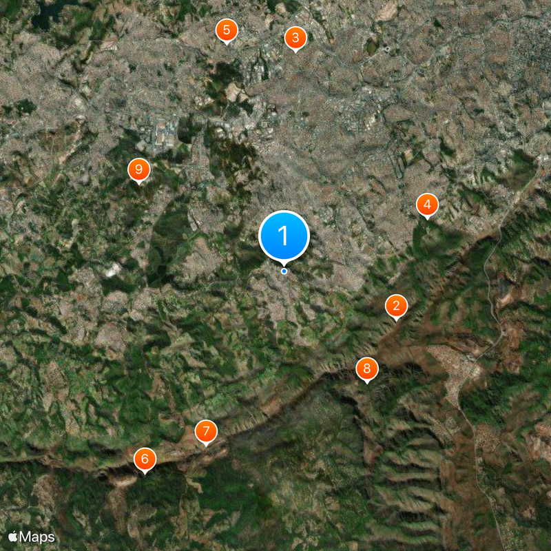
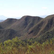
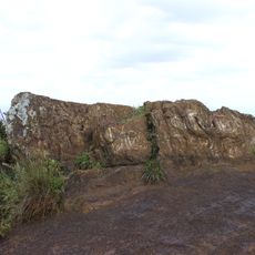
The Serra do Rola-Moça State Park covers a significant portion of the municipality's territory, protecting roughly 3,900 hectares of natural environment. This park serves as a refuge for local plant and animal life, allowing visitors to experience the region's original landscape while remaining close to urban areas.

The community of curious travelers

AroundUs brings together thousands of curated places, local tips, and hidden gems, enriched daily by 60,000 contributors worldwide.

Start exploring
Location
Inception
March 1, 1963
Elevation above the sea
872 m
Shares border with
Belo Horizonte, Betim, Brumadinho, Contagem, Sarzedo
GPS coordinates
-20.02194,-44.05889
Latest update
December 19, 2025 23:21
Reviews
Share your experience

No review yet

Discussions
Start a discussion...

No discussion yet

« Ibirité - Municipality in Belo Horizonte metropolitan region, Brazil » is provided by Around Us (aroundus.com). Images and texts are derived from Wikimedia project under a Creative Commons license. You are allowed to copy, distribute, and modify copies of this page, under the conditions set by the license, as long as this note is clearly visible.

Discover hidden gems everywhere you go!

From secret cafés to breathtaking viewpoints, skip the crowded tourist spots and find places that match your style. Our app makes it easy with voice search, smart filtering, route optimization, and insider tips from travelers worldwide. Download now for the complete mobile experience.

Around Us App Screenshot

A unique approach to discovering new places

Le Figaro

All the places worth exploring

France Info

A tailor-made excursion in just a few clicks

20 Minutes

Around Us
Travel Guide & Maps
Download

Send to your phone

QR Code
1

Open the camera app on your mobile.

2

Point at the QR code with your camera. A notification will appear.

3

Tap the notification to open the link.