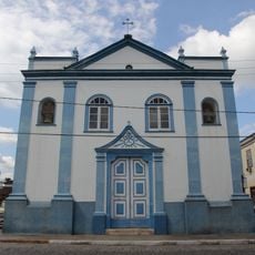
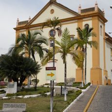
Serra das Araras, Mountain chain in Rio de Janeiro, Brazil
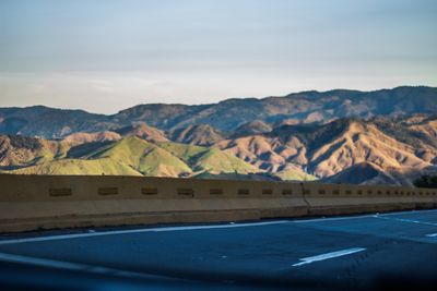
Serra das Araras is a mountain chain in Rio de Janeiro state, forming part of the larger Serra do Mar system with sharp drop-offs and varied elevations. The range sits between 800 and 900 meters high and divides the coastal plains from the inland plateau.
The range took shape during early Portuguese colonial times and has defined the geography of Rio de Janeiro state ever since. In 1967, a massive landslide triggered by heavy rainfall destroyed infrastructure and caused significant loss of life across the region.
The range takes its name from the macaws that lived here during early Portuguese settlement of Rio de Janeiro state. These birds left a lasting mark on local memory and continue to appear in regional folklore and place names.
Several highways cross this mountain chain, including the President Dutra Highway which has the longest separated lane section in the region. Visitors should expect changeable weather at higher elevations and bring plenty of water and sturdy footwear.
This range forms a natural boundary between the coastal plains and the inland plateau, creating dramatic elevation shifts across the Baixada Fluminense region. The geological forces that created this barrier continue to influence how weather patterns and ecosystems develop throughout the area.
The community of curious travelers
AroundUs brings together thousands of curated places, local tips, and hidden gems, enriched daily by 60,000 contributors worldwide.