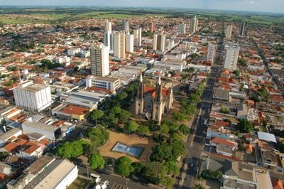
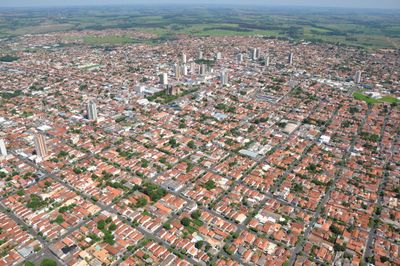
Votuporanga, Municipality in Northwest São Paulo, Brazil
Votuporanga is a municipality in northwest São Paulo, Brazil, located approximately 520 kilometers from the state capital. The city sits at an elevation of about 466 meters and serves as a regional hub with several hospitals and healthcare facilities.
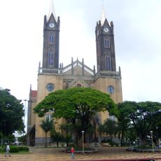
Votuporanga was founded on August 8, 1937, emerging from the Marinheiro de Cima Farm when Father Isidoro Cordeiro Paranhos celebrated the first Catholic mass. This founding moment marked the beginning of the settlement that would later develop into a significant regional center.
The local ballet program hosts regular dance performances and competitions throughout the year. These events shape the city's cultural life and bring together dancers and audiences from surrounding areas.
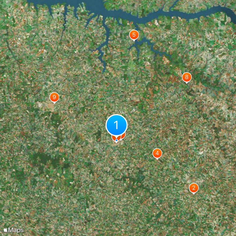
The city is accessible by car via regional highways and serves as a transit point for travelers. Visitors can find most services and shops concentrated in the downtown area, making navigation straightforward.
The city has become a center of furniture manufacturing, with numerous small and medium-sized companies operating in this sector. This industry has provided economic stability for decades and shapes the character of the local economy.
Location: São Paulo
Inception: August 8, 1937
Elevation above the sea: 466 m
Shares border with: Álvares Florence, Cosmorama, Valentim Gentil, Floreal, Magda, Nhandeara, Parisi, Sebastianópolis do Sul
Website: http://votuporanga.sp.gov.br
GPS coordinates: -20.42278,-49.97278
Latest update: December 14, 2025 17:52
Estádio Alberto Víctolo
40.6 km
Cathedral Our Lady (Votuporanga-SP)
346 m
Estação Ferroviária de Cosmorama
19.3 km
Cachoeira Itacur
44 km
Museu Municipal Edward Coruripe Costa
1.8 km
Grafiti do Dragão
846 m
Waterfall
39.4 km
Museu Municipal
31.5 km
Água Viva Thermas Clube Hotel
29.7 km
Biblioteca e Teatro
32.9 km
Concha Acústica Votuporanga
300 m
Pavilhão de Atuações do C.C.T
1.8 km
Praia Antonio Saulini
36.2 km
Jesus Cristo
22.2 km
Cristo Redentor
28.4 km
Cachoeira São Roberto
39.8 km
Cristo Redentor
21 km
Waterfall
52.1 km
Waterfall
50.9 km
Waterfall
22.8 km
Waterfall
43.4 km
Waterfall
49.2 km
Cachoeira do Ecatú
26.8 km
Cachoeira do Sindacta
33.8 km
Waterfall
43.9 km
Waterfall
44.4 km
Waterfall
43.9 km
Waterfall
43.9 kmVisited this place? Tap the stars to rate it and share your experience / photos with the community! Try now! You can cancel it anytime.
Discover hidden gems everywhere you go!
From secret cafés to breathtaking viewpoints, skip the crowded tourist spots and find places that match your style. Our app makes it easy with voice search, smart filtering, route optimization, and insider tips from travelers worldwide. Download now for the complete mobile experience.
A unique approach to discovering new places❞
— Le Figaro
All the places worth exploring❞
— France Info
A tailor-made excursion in just a few clicks❞
— 20 Minutes