Valença, Municipality in Rio de Janeiro state, Brazil
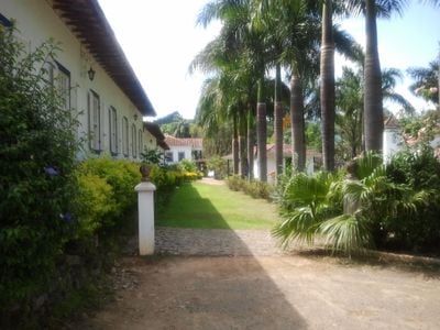
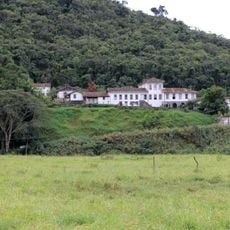
Valença is a municipality in Rio de Janeiro state, Brazil, spread across hilly terrain and divided into several districts including Conservatória and Barão de Juparanã. The area blends rural and urban spaces with abundant greenery.
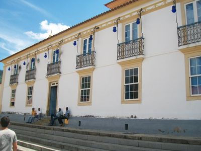
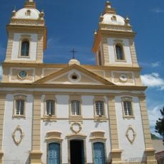
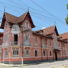
Valença was founded in 1823 and grew from indigenous lands into an important administrative center. This establishment marked the beginning of agricultural development and population expansion in the region.
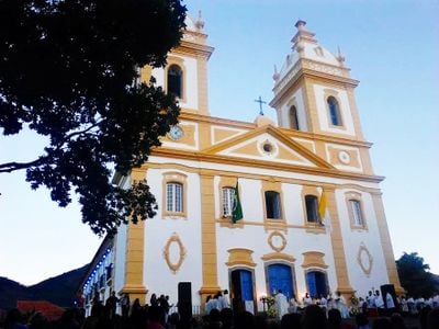
The Quilombo São José community keeps African-Brazilian traditions alive through Jongo dance, a form recognized as National Historical Heritage. You can experience this living expression during local celebrations.
The municipality offers easy access to protected natural areas and rural trails alongside modern urban services in the town centers. Visitors should know that the terrain is hilly and good footwear is recommended for most activities.
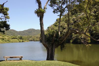
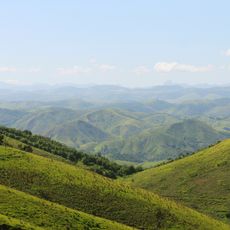
Serra da Concórdia State Park within the municipality protects diverse plant and animal life across several hiking trails for visitors to explore. This protected area remains less crowded than famous parks elsewhere, offering quiet encounters with local nature.
Location: Rio de Janeiro
Inception: August 17, 1823
Elevation above the sea: 612 m
Shares border with: Barra do Piraí, Barra Mansa, Passa-Vinte, Quatis, Rio das Flores, Rio Preto, Santa Bárbara do Monte Verde, Santa Rita de Jacutinga, Vassouras
Website: http://valenca.rj.gov.br
GPS coordinates: -22.24583,-43.70000
Latest update: December 14, 2025 19:18
Santa Clara Farm, Santa Rita do Jacutinga
31.3 km
Serra da Concórdia State Park
10.8 kmFazenda Vista Alegre
10 km
Our Lady of Glory Cathedral, Valença
95 mFazenda Florença
23.5 kmFazenda Santo Antônio do Paiol
2.2 kmSolar dos Nogueira
166 mConjunto do Centro Histórico
52 mFazenda São Paulo
27.3 kmAnnex of Deputy Luiz Pinto Education Institute
483 mCatedral de Nossa Senhora da Glória
102 mPublic Jail of Valença
177 mPraça da Bandeira
110 mColégio Sagrado Coração de Jesus e antigo Solar Moreno D’Alagão
140 mSolar dos Calmon
143 mPraça Dr. Paulo de Frontin
766 mAntiga Fábrica de Rendas e Bordados e construções anexas
396 mColégio Estadual Benjamin Guimarães
144 mAntigas Oficinas e Escritórios da Rede Ferroviária Central
706 m
Hotel Valenciano
728 mPraça XV de Novembro
382 mSolar dos Farina e dos Ariosa
41 mSolar dos Paiva Mattos
120 mFirst School of Valença
502 mSanta Casa de Misericórdia
236 mImóvel à Rua Monsenhor Paschoal Librelloto, nº 307
24 kmBuilding at Rua Monsenhor Paschoal Librelloto, 307
24 kmFirst Holy House of Valença
295 mVisited this place? Tap the stars to rate it and share your experience / photos with the community! Try now! You can cancel it anytime.
Discover hidden gems everywhere you go!
From secret cafés to breathtaking viewpoints, skip the crowded tourist spots and find places that match your style. Our app makes it easy with voice search, smart filtering, route optimization, and insider tips from travelers worldwide. Download now for the complete mobile experience.
A unique approach to discovering new places❞
— Le Figaro
All the places worth exploring❞
— France Info
A tailor-made excursion in just a few clicks❞
— 20 Minutes