Miguel Pereira, Mountain municipality in Rio de Janeiro, Brazil
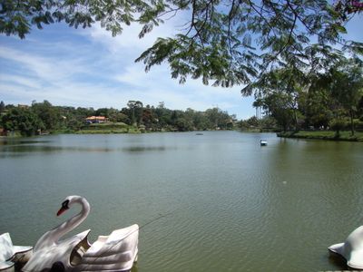
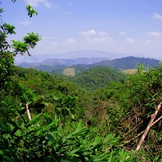
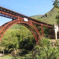
Miguel Pereira is a mountain municipality near Rio de Janeiro with rolling terrain featuring rivers, waterfalls, and natural springs spread across its land. The landscape rises through different elevations with green slopes that feed water sources throughout the region.
The place developed from indigenous Puri lands and later became Portuguese agricultural territory. By the 1800s, large coffee plantations shaped the economy and landscape of the region.
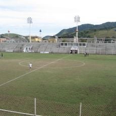
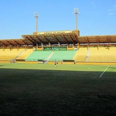
The town preserves mountain community traditions where local celebrations and craftwork shape daily life, letting visitors experience rural customs tied to Rio de Janeiro state.
The area connects to Rio de Janeiro via established roads, with regular bus routes bringing visitors directly to town. Its proximity to the city makes it easy to visit as a day trip or short stay.
The town serves as a crucial water supplier for nearby populated areas through its natural springs and streams. Visitors often overlook how vital these quiet water sources are to sustaining millions of people in surrounding regions.
The community of curious travelers
AroundUs brings together thousands of curated places, local tips, and hidden gems, enriched daily by 60,000 contributors worldwide.