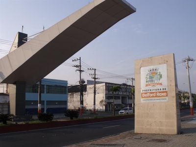
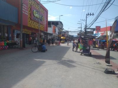
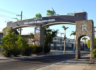
Belford Roxo, Municipality in Rio de Janeiro metropolitan area, Brazil.
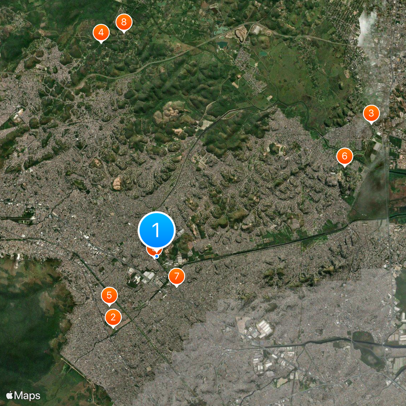
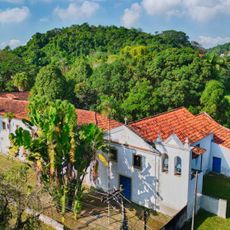
Belford Roxo is a municipality in the Rio de Janeiro metropolitan area within the state of Rio de Janeiro, Brazil, covering around 79 square kilometers at an elevation of roughly 38 meters. The territory includes residential neighborhoods alongside industrial zones and is bordered by the municipalities of Duque de Caxias, Nova Iguaçu and São João de Meriti.
The area grew from an indigenous settlement into a mill operation founded by Captain Belchior Azeredo during colonial times near the Sarapuí River. In the late 19th century, engineer Raimundo Teixeira Belfort Roxo addressed water shortages in the region, inspiring the choice of the town name in his honor.
The local samba school Cordeiro da Belford Roxo performs each year during Rio carnival parades, bringing dancers and musicians from the neighborhood to represent the town. Rehearsals take place in a dedicated building where residents gather in the months before carnival to practice their choreography and music.
The municipality connects to neighboring cities through public transportation, making trips between surrounding towns possible. Buses and trains operate regularly and help visitors and residents reach the nearby regions more easily.
Engineer Raimundo Teixeira Belfort Roxo introduced a water system in 1889 to end the drought in the region. The municipality has carried his name ever since as recognition for this achievement, which fundamentally changed life for residents.
The community of curious travelers
AroundUs brings together thousands of curated places, local tips, and hidden gems, enriched daily by 60,000 contributors worldwide.