Duque de Caxias, Industrial city in Rio de Janeiro metropolitan area, Brazil
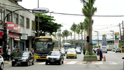
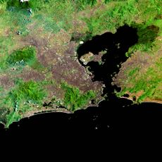
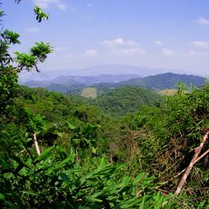
Duque de Caxias is an industrial city in the Rio de Janeiro metropolitan area, Brazil, spreading along the shore of Guanabara Bay. Roads lead through densely built residential neighborhoods, commercial zones with warehouses and refineries, and green sections on the outskirts where some hills interrupt the flat coastal landscape.
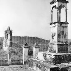
Sugarcane plantations shaped the area from the 16th to the 18th century, before coffee and orange cultivation changed the agriculture. Official founding as an independent city occurred in late 1943, when oil extraction and heavy industry began the shift toward a working-class city.
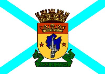
The name honors Luís Alves de Lima e Silva, a 19th-century Brazilian military leader whose title later became the designation for this industrial city. Today you see streets and squares that recall this military past, while daily life revolves around workers and commuters heading to factories and offices.
Visitors arriving from Rio de Janeiro can use regional trains that stop at several stations across the entire city area. The best visiting times fall outside the morning and evening rush hours, when commuters use transport less heavily.
A cultural center designed by Oscar Niemeyer stands in the middle of this working-class city and connects modern architecture with public spaces for theater and library. The curved concrete forms appear as a contrast to the simpler residential and industrial buildings around them.
The community of curious travelers
AroundUs brings together thousands of curated places, local tips, and hidden gems, enriched daily by 60,000 contributors worldwide.