Uberaba, Administrative center in western Minas Gerais, Brazil
Uberaba sits on the Brazilian Highlands at an elevation of 823 meters and serves as a regional center in western Minas Gerais. The sprawling urban area covers more than four and a half thousand square kilometers and houses over three hundred forty thousand residents spread across several neighborhoods and rural zones around the city core.
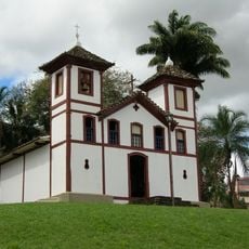
The settlement began in 1810 when Captain Major Eustaquio set up a rest point near the old Anhanguera trail, which quickly grew into a hub for cattle drivers and travelers. The growing community officially gained city status in 1856 and became an important center for agriculture and livestock trade in the following decades.
Every year the city hosts ExpoZebu, a large cattle fair that brings together breeders from many countries and continues the tradition of Zebu livestock farming. This connection to the cattle industry shapes daily life and the identity of many residents.
Two federal highways, BR-050 and BR-262, connect the city to other major destinations in the region and make road access straightforward. The Mario de Almeida Franco Airport offers flight connections for travelers who prefer a faster route and sits just a few kilometers from the city center.
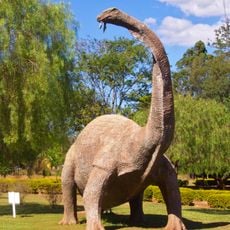
The Peirópolis district holds significant paleontological sites with fossils roughly 80 million years old, offering insights into prehistoric animal life. These sites received UNESCO Global Geopark recognition in March 2024, highlighting the scientific importance of the area.
The community of curious travelers
AroundUs brings together thousands of curated places, local tips, and hidden gems, enriched daily by 60,000 contributors worldwide.