Chest opened
+${chestReward.xp} XP
Explorer
NOUVEAU ×${chestReward.collectible.quantity}
tapez pour fermer
Chest locked

Open chests in the app

Around Us is built for your phone — chests unlock when you walk, explore and capture nearby places.

Enable Location

We need your location to show you interesting places around you

Discover nearby places

Find interesting locations and hidden gems around you

Precise directions

Get accurate directions and distances to places

Your location is never shared with other users. It's only used when you tap the location button.

Araguari

Log in to your account

Start exploring — it's free

Trusted by 72,878 travelers worldwide

Continue with Google
Continue with Apple
or

We will send you a code to connect

By continuing, you accept our Terms and Conditions and our Privacy Policy

Check your inbox

We've sent a pincode in your inbox. Please enter the code below.

Discussion Reviews 4 Photos
62.3k Popularity

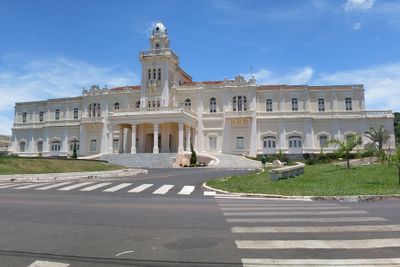
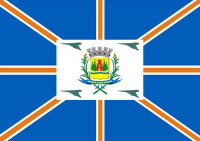
Araguari, Municipality in Triângulo Mineiro region, Minas Gerais, Brazil.

Araguari is a municipality in the Triângulo Mineiro region of Minas Gerais state in Brazil, covering built-up areas and wide rural stretches. The town sits at around 3315 feet (1010 meters) and spreads over roughly 1070 square miles (2770 square kilometers), with main roads linking the center to outlying farms and plantations.

The settlement started in the early 1800s as Brejo Alegre and was elevated to district status as Sant'Ana do Rio das Velhas in 1843. Forty-four years later, in 1888, the place received city status and took the name Araguari.

The name comes from the Araguari River and refers to a place that bridges farming areas and a compact town center. Weekly markets and regional gatherings bring growers and buyers together, letting you feel the rhythm of the surrounding fields directly.

Highways BR-050, MG-223 and MG-413 run from here toward São Paulo, Brasília and Belo Horizonte, so travelers often use the place as a stopover. Inside the town, signposted main streets make orientation easier, while rural sections occasionally feature unpaved tracks.

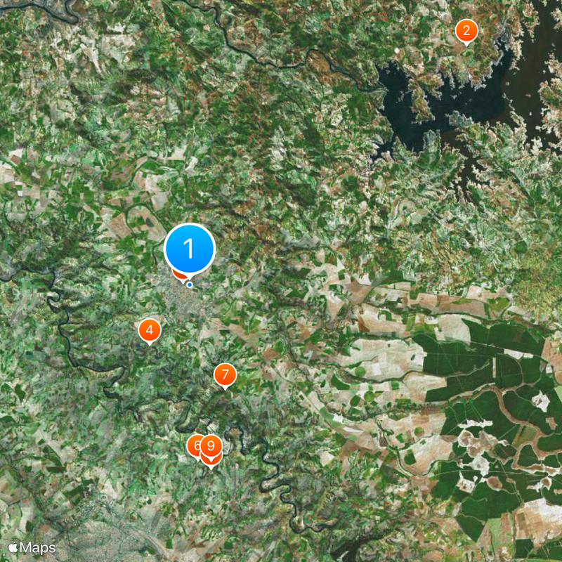
The municipal territory holds more than 120 waterfalls and rapids along the Araguari and Ribeirão Jordão rivers. These natural formations draw visitors looking for swimming spots and hiking trails away from the main routes.

The community of curious travelers

AroundUs brings together thousands of curated places, local tips, and hidden gems, enriched daily by 60,000 contributors worldwide.

Start exploring
Location
Inception
1888
Elevation above the sea
1,013 m
Shares border with
Estrela do Sul, Indianópolis, Uberlândia, Cascalho Rico, Tupaciguara, Anhanguera, Catalão, Corumbaíba, Cumari
GPS coordinates
-18.64889,-48.18694
Latest update
December 13, 2025 18:55
Reviews
Share your experience

No review yet

Discussions
Start a discussion...

No discussion yet

« Araguari - Municipality in Triângulo Mineiro region, Minas Gerais, Brazil » is provided by Around Us (aroundus.com). Images and texts are derived from Wikimedia project under a Creative Commons license. You are allowed to copy, distribute, and modify copies of this page, under the conditions set by the license, as long as this note is clearly visible.

Discover hidden gems everywhere you go!

From secret cafés to breathtaking viewpoints, skip the crowded tourist spots and find places that match your style. Our app makes it easy with voice search, smart filtering, route optimization, and insider tips from travelers worldwide. Download now for the complete mobile experience.

Around Us App Screenshot

A unique approach to discovering new places

Le Figaro

All the places worth exploring

France Info

A tailor-made excursion in just a few clicks

20 Minutes

Around Us
Travel Guide & Maps
Download

Send to your phone

QR Code
1

Open the camera app on your mobile.

2

Point at the QR code with your camera. A notification will appear.

3

Tap the notification to open the link.