Enable Location

We need your location to show you interesting places around you

Discover nearby places

Find interesting locations and hidden gems around you

Precise directions

Get accurate directions and distances to places

Your location is never shared with other users. It's only used when you tap the location button.

Ipameri

Log in to your account

Start exploring — it's free

Trusted by 62,860 travelers worldwide

Continue with Google
Continue with Apple
or

We will send you a code to connect

By continuing, you accept our Terms and Conditions and our Privacy Policy

Check your inbox

We've sent a pincode in your inbox. Please enter the code below.

Ipameri, Agricultural municipality in Goiás, Brazil.

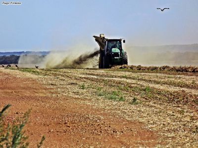
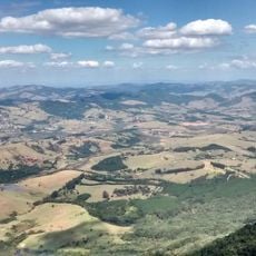
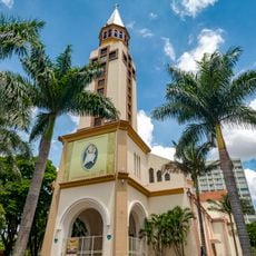
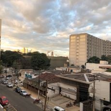
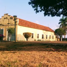
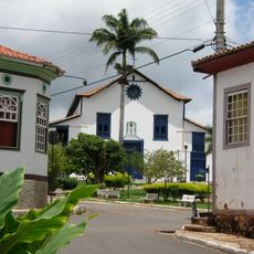
Ipameri is a municipality in Goiás situated at an elevation of 950 meters (3,117 feet) in the southeastern region of the state. The town serves as an agricultural center where farming and related activities form the backbone of the local economy.

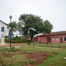
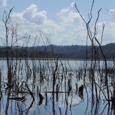
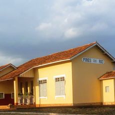
The settlement began in the mid-1800s along the Vai-Vem River, originally called Entre-Rios before being renamed in 1904. This change marked a turning point as the town grew into a regional center.

The town celebrates its farming heritage through local festivals that honor the harvest of cotton, soybeans, corn, and rice. These traditions shape how people here connect with the land and mark the rhythm of the year.

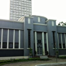
The town has schools and higher education options available to residents and visitors who want to understand local development. It serves as a base for exploring rural life and farming activities in the region.

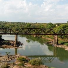
The town built the first hydroelectric station in Goiás in 1913, a project that transformed how the region accessed power. This early venture into electricity generation reflects the town's forward-thinking approach to development.

The community of curious travelers

AroundUs brings together thousands of curated places, local tips, and hidden gems, enriched daily by 60,000 contributors worldwide.

Start exploring
Location
Elevation above the sea
950 m
Shares border with
Caldas Novas, Cristalina, Campo Alegre de Goiás, Catalão, Corumbaíba, Goiandira, Luziânia, Nova Aurora, Orizona, Paracatu, Pires do Rio, Urutaí
GPS coordinates
-17.72194,-48.16000
Latest update
December 7, 2025 19:23
« Ipameri - Agricultural municipality in Goiás, Brazil » is provided by Around Us (aroundus.com). Images and texts are derived from Wikimedia project under a Creative Commons license. You are allowed to copy, distribute, and modify copies of this page, under the conditions set by the license, as long as this note is clearly visible.

Discover hidden gems everywhere you go!

From secret cafés to breathtaking viewpoints, skip the crowded tourist spots and find places that match your style. Our app makes it easy with voice search, smart filtering, route optimization, and insider tips from travelers worldwide. Download now for the complete mobile experience.

Around Us App Screenshot

A unique approach to discovering new places

Le Figaro

All the places worth exploring

France Info

A tailor-made excursion in just a few clicks

20 Minutes

Around Us
Travel Guide & Maps
Download

Send to your phone

QR Code
1

Open the camera app on your mobile.

2

Point at the QR code with your camera. A notification will appear.

3

Tap the notification to open the link.