Enable Location

We need your location to show you interesting places around you

Discover nearby places

Find interesting locations and hidden gems around you

Precise directions

Get accurate directions and distances to places

Your location is never shared with other users. It's only used when you tap the location button.

Itabirito

Log in to your account

Start exploring — it's free

Trusted by 62,603 travelers worldwide

Continue with Google
Continue with Apple
or

We will send you a code to connect

By continuing, you accept our Terms and Conditions and our Privacy Policy

Check your inbox

We've sent a pincode in your inbox. Please enter the code below.

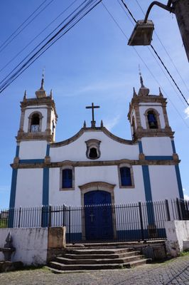
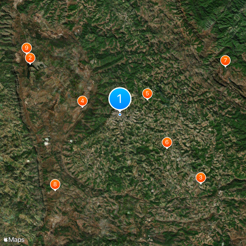
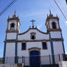
Itabirito, Municipality in Minas Gerais, Brazil

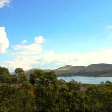
Itabirito is a municipality in Minas Gerais, Brazil, spanning diverse landscapes with mineral-rich soil and containing sections of Serra do Gandarela National Park. The area combines urban zones with natural regions marked by geological diversity.

The municipality was founded in the 18th century during the gold rush period and developed as a mining settlement. This mining heritage shaped the early growth and settlement patterns of the area.

The town hosts annual celebrations featuring traditional music, dance, and local food from the Minas Gerais region. These events bring community members together and keep regional heritage alive in everyday life.

The town connects easily to nearby Belo Horizonte through regular bus services and road networks. These transport links make day trips to the metropolitan area convenient and straightforward.

A portion of Serra do Gandarela National Park falls within the municipality's boundaries, offering protected natural areas for visitors to explore. This proximity to preserved landscapes makes the area special for those seeking both settlement and wilderness.

The community of curious travelers

AroundUs brings together thousands of curated places, local tips, and hidden gems, enriched daily by 60,000 contributors worldwide.

Start exploring
Location
Elevation above the sea
1,019 m
Shares border with
Nova Lima, Brumadinho, Moeda, Ouro Preto, Rio Acima, Santa Bárbara
GPS coordinates
-20.25278,-43.80083
Latest update
December 20, 2025 11:56
« Itabirito - Municipality in Minas Gerais, Brazil » is provided by Around Us (aroundus.com). Images and texts are derived from Wikimedia project under a Creative Commons license. You are allowed to copy, distribute, and modify copies of this page, under the conditions set by the license, as long as this note is clearly visible.

Discover hidden gems everywhere you go!

From secret cafés to breathtaking viewpoints, skip the crowded tourist spots and find places that match your style. Our app makes it easy with voice search, smart filtering, route optimization, and insider tips from travelers worldwide. Download now for the complete mobile experience.

Around Us App Screenshot

A unique approach to discovering new places

Le Figaro

All the places worth exploring

France Info

A tailor-made excursion in just a few clicks

20 Minutes

Around Us
Travel Guide & Maps
Download

Send to your phone

QR Code
1

Open the camera app on your mobile.

2

Point at the QR code with your camera. A notification will appear.

3

Tap the notification to open the link.