Lavras, Educational center in Minas Gerais, Brazil
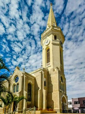
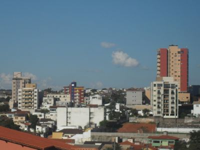
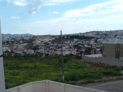
Lavras is a municipality in southeastern Minas Gerais that spreads across gentle hills and fertile valleys. The town center sits halfway up between the surrounding ridges and is crossed by streets that adapt to the natural topography.
Settlers founded the settlement in 1729 to search for gold and establish farmland. By the 19th century, the place grew into a regional trading hub as river boats and later the railway connected it to other parts of Minas Gerais.
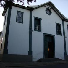
The Federal University shapes the cityscape with students from all parts of Brazil who focus on agricultural research and veterinary medicine. Cafés and bookshops in the center reflect this academic atmosphere, while life shifts around the semester calendar.
A visit works well throughout the year, as the mild climate allows for walks in the town center or trips to the surrounding hills at any time. Waterproof clothing can be useful between December and March when rain falls more frequently.
The original name Lavras do Funil, meaning washbasins at the funnel, recalls the methods of gold prospectors in the 18th century. This designation disappeared in 1868 when the settlement officially adopted the shorter name and turned toward commerce.
The community of curious travelers
AroundUs brings together thousands of curated places, local tips, and hidden gems, enriched daily by 60,000 contributors worldwide.