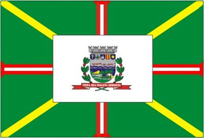
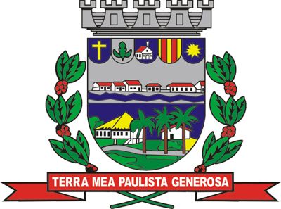
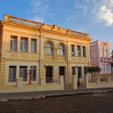
Mococa, Municipality in northeastern São Paulo, Brazil.
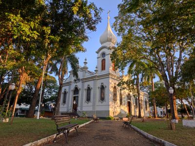
Mococa is a municipality in northeastern São Paulo located in an agricultural region with rolling terrain. The town sits amid farmland and combines rural and small-town characteristics throughout its area.
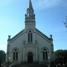
The municipality was founded in 1856 as an administrative division in São Paulo state. The arrival of Italian immigrants around 1900 brought economic growth and cultural change to the region.
Italian immigrants left a lasting mark on local traditions starting in the early 1900s. Their influence remains visible today in community celebrations, family customs, and regional cooking.
The nearest major airports are roughly 100 to 170 kilometers away and provide connections to other cities. Travel is easiest during the dry season when road conditions are most reliable.
The area experiences noticeable temperature shifts throughout the year that shape daily rhythms and farm work. Cooler months allow certain crops to flourish while warmer periods drive different activities.
Location: São Paulo
Inception: April 5, 1856
Elevation above the sea: 645 m
Shares border with: São José do Rio Pardo, Casa Branca, Arceburgo, Cajuru, Cássia dos Coqueiros, Guaranésia, Monte Santo de Minas, Tambaú, Tapiratiba
Website: http://mococa.sp.gov.br
GPS coordinates: -21.46778,-47.00472
Latest update: December 15, 2025 02:48
Parque Ecológico São Sebastião
1.1 km
Casa de Zinco
18.5 km
Museu de Artes Plásticas Quirino da Silva
263 m
Casa de Cultura Rogério Cardoso
259 m
Ponte Metálica Euclides da Cunha
18.1 km
Euclides da Cunha Reservoir
16.3 km
Limoeiro Reservoir
17.2 km
Saint Barbara Church (Guaranésia)
28.1 km
E.E. Barão Monte Santo
182 m
Casa da Cultura Rogério Cardoso
368 m
Cine A Colombo
18.4 km
Antiga Casa de Câmara e Cadeia de São José do Rio Pardo
18.7 km
Casa da Sesmaria
2.4 km
Museu Histórico e Pedagógico Marquês de Três Rios
364 m
Instituto Histórico Cultural de Arceburgo
13 km
Museu de Artes Sacra Iria Josepha da Silva
367 m
Praça Dona Esméria Ribeiro do Valle Figueiredo
26.5 km
Estádio Professor Francisco de Paula Nabuco
26.4 km
Fonte
26.3 km
Cristo Redentor
25.1 km
Painel Da Cidadania
26.5 km
Teatro Pedro Ângelo Camin
205 m
CREG
28.2 km
Scenic viewpoint
25.1 km
Waterfall
4.3 km
Cachoeira do Itambé
24.3 km
Waterfall
27 km
Cachoeira do Jamil
18.4 kmVisited this place? Tap the stars to rate it and share your experience / photos with the community! Try now! You can cancel it anytime.
Discover hidden gems everywhere you go!
From secret cafés to breathtaking viewpoints, skip the crowded tourist spots and find places that match your style. Our app makes it easy with voice search, smart filtering, route optimization, and insider tips from travelers worldwide. Download now for the complete mobile experience.
A unique approach to discovering new places❞
— Le Figaro
All the places worth exploring❞
— France Info
A tailor-made excursion in just a few clicks❞
— 20 Minutes