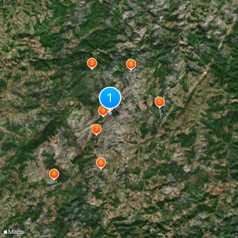
Itabira, Mining municipality in Minas Gerais, Brazil.
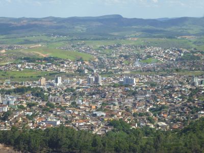
Located at an elevation of 794 meters, Itabira extends across mountainous terrain with urban developments surrounded by iron-rich geological formations.
Founded in 1833 as a gold mining settlement, Itabira transformed into an iron ore extraction center when Companhia Vale do Rio Doce began operations in 1942.
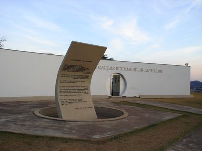
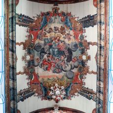
The birthplace of Carlos Drummond de Andrade houses numerous literary festivals celebrating poetry and traditional Minas Gerais cultural expressions throughout the year.
The municipality connects to major cities through paved highways, with regular bus services operating between Itabira and the state capital, Belo Horizonte.
Iron ore extraction activities shape the local landscape, creating distinct red-soil formations visible throughout the region.
Location: Minas Gerais
Inception: 1833
Elevation above the sea: 794 m
Shares border with: Jaboticatubas, Bom Jesus do Amparo, João Monlevade, Bela Vista de Minas, Itambé do Mato Dentro, Nova Era, Nova União, Santa Maria de Itabira, São Gonçalo do Rio Abaixo
Website: http://itabira.mg.gov.br
GPS coordinates: -19.61889,-43.22694
Latest update: May 28, 2025 18:31
Serra da Piedade
52.3 km
Serra do Cipó National Park
43.5 km
Shrine of Our Lady of Piety
52.2 km
Gongo Soco
54.7 km
Parish Church of Our Lady of Good Success
55.9 km
Frei Rosário Astronomical Observatory
52.6 km
Serra do Intendente State Park
26.2 km
Museu Regional de Caeté
55.8 km
Cristal Falls
46 km
Bahia Falls
42.6 km
Santo Antônio do Rio Abaixo Main Church
43.5 km
Chuvisco Falls
37.2 km
Paróquia São José da Lagoa
25.7 km
Parish São José Operário
26.3 km
Paróquia Nossa Senhora de Fátima
24.9 km
Paróquia São Luís Maria de Montfort
25 km
Ermida de Nossa Senhora do Rosário
164 m
Igreja Matriz de São João Batista
45.5 km
Igreja de Nossa Senhora do Rosário
55.9 km
Bicame de Pedra
52.7 km
Frei Rosário Astronomical Observatory 60cm telescope
52.6 km
Our Lady of the Rosary Church
58.6 km
Our Lady of the Assumption Church
58.2 km
Casa no Largo do Rosário
42.9 km
Catas Altas Historial Centre
54.2 km
Cachoeira Serra Morena
54.2 km
Estádio Municipal Louis Ensch
24.7 km
Pelourinho do Poder
56 kmReviews
Visited this place? Tap the stars to rate it and share your experience / photos with the community! Try now! You can cancel it anytime.
Discover hidden gems everywhere you go!
From secret cafés to breathtaking viewpoints, skip the crowded tourist spots and find places that match your style. Our app makes it easy with voice search, smart filtering, route optimization, and insider tips from travelers worldwide. Download now for the complete mobile experience.
A unique approach to discovering new places❞
— Le Figaro
All the places worth exploring❞
— France Info
A tailor-made excursion in just a few clicks❞
— 20 Minutes