Enable Location

We need your location to show you interesting places around you

Discover nearby places

Find interesting locations and hidden gems around you

Precise directions

Get accurate directions and distances to places

Your location is never shared with other users. It's only used when you tap the location button.

Miracema

Log in to your account

Start exploring — it's free

Trusted by 62,835 travelers worldwide

Continue with Google
Continue with Apple
or

We will send you a code to connect

By continuing, you accept our Terms and Conditions and our Privacy Policy

Check your inbox

We've sent a pincode in your inbox. Please enter the code below.

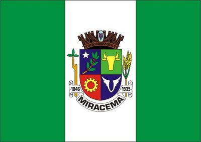
Miracema, Municipality in northwestern Rio de Janeiro, Brazil

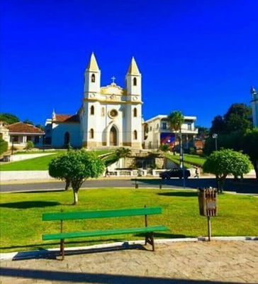
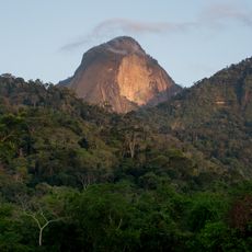
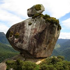
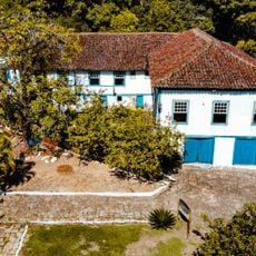
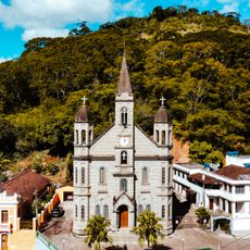
Miracema is a municipality in northwestern Rio de Janeiro that spreads across green hills bordering the state of Minas Gerais. The area sits at around 137 meters in elevation and covers approximately 303 square kilometers.

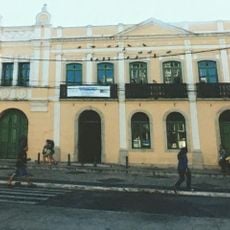
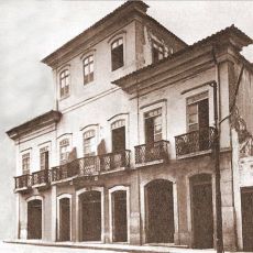
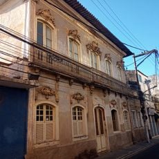
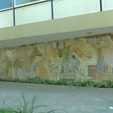
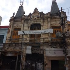
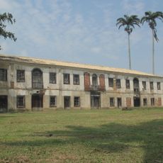
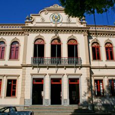
The area experienced strong growth in the early 1900s when Rio de Janeiro state became Brazil's leading coffee producer. This period of expansion left lasting marks on the local economy and settlement patterns.

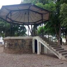
The place maintains active jongo and capoeira groups, keeping traditional Brazilian dance and martial arts forms alive in the community. These practices remain visible during local gatherings and celebrations where residents pass them to younger generations.

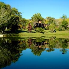
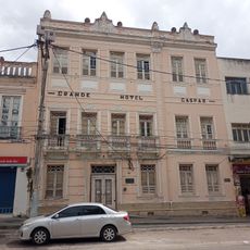
The best time to visit is during warmer months when local roads are more accessible and community activities happen more often. The place is accessible by car and offers basic services at central locations around town.

Three notable Brazilian football managers - Aymoré, Zezé, and Ayrton Moreira - were born here. Their careers brought the place some recognition in Brazilian sports history.

The community of curious travelers

AroundUs brings together thousands of curated places, local tips, and hidden gems, enriched daily by 60,000 contributors worldwide.

Start exploring
Location
Elevation above the sea
137 m
Shares border with
Laje do Muriaé, Santo Antônio de Pádua, Barão de Monte Alto, Itaperuna, Palma, São José de Ubá
GPS coordinates
-21.41194,-42.19694
Latest update
December 7, 2025 10:08
« Miracema - Municipality in northwestern Rio de Janeiro, Brazil » is provided by Around Us (aroundus.com). Images and texts are derived from Wikimedia project under a Creative Commons license. You are allowed to copy, distribute, and modify copies of this page, under the conditions set by the license, as long as this note is clearly visible.

Discover hidden gems everywhere you go!

From secret cafés to breathtaking viewpoints, skip the crowded tourist spots and find places that match your style. Our app makes it easy with voice search, smart filtering, route optimization, and insider tips from travelers worldwide. Download now for the complete mobile experience.

Around Us App Screenshot

A unique approach to discovering new places

Le Figaro

All the places worth exploring

France Info

A tailor-made excursion in just a few clicks

20 Minutes

Around Us
Travel Guide & Maps
Download

Send to your phone

QR Code
1

Open the camera app on your mobile.

2

Point at the QR code with your camera. A notification will appear.

3

Tap the notification to open the link.