Santa Luzia

Log in to your account

AroundUs is a community-driven map of interesting places, built by curious explorers like you. It grows with every review, story, and photo you share.
Connect to save your favorite spots, contribute locations, and create personalized routes.
Continue with Google
Continue with Apple
Continue with X
Continue with Facebook
Continue with email
By continuing, you accept our Terms and Conditions and our Privacy Policy
Create an account
Add to collection
Map
Suggest a change
Share

Santa Luzia, Regional commercial center in Minas Gerais, Brazil.

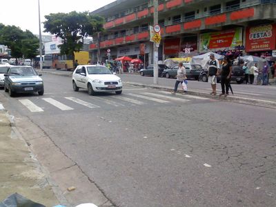
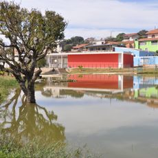
Santa Luzia sits 751 meters (2,464 feet) above sea level and covers 233 square kilometers (90 square miles) in the Metropolitan Region of Belo Horizonte. The São Benedito district forms the main commercial center, while rural areas surround the municipal territory.

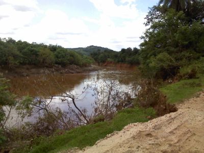
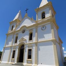
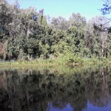
The settlement began in 1692 when gold prospectors from Borba Gato's expedition founded the first village near Rio das Velhas. The town experienced political unrest during the nineteenth century and became a site of armed conflict during the Liberal Revolution.

The House of Culture occupies the former Solar Teixeira da Costa mansion and still shows bullet marks from the 1842 Liberal Revolution. These traces remind visitors of nineteenth-century political struggles and show how the town became part of larger historical events.

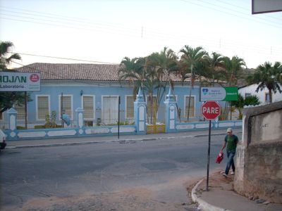
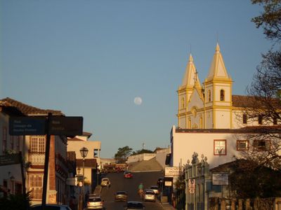
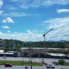
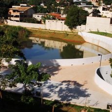
The urban zones focus on São Benedito district, while the rural parts of the municipality remain less developed. Visitors exploring the historic center find older buildings and squares that date back to the colonial period.

Emperor Pedro II documented his 1881 visit by sketching the historic center while staying at the Baroness Solar. His drawings record how the town looked more than a century ago and show the imperial view of the Brazilian province.

Location: Minas Gerais

Inception: March 18, 1692

Elevation above the sea: 751 m

Shares border with: Belo Horizonte, Jaboticatubas, Lagoa Santa, Sabará, Taquaraçu de Minas, Vespasiano

Website: http://santaluzia.mg.gov.br

GPS coordinates: -19.77000,-43.85083

Latest update: December 13, 2025 19:22

Photos
Reviews

Visited this place? Tap the stars to rate it and share your experience / photos with the community! Try now! You can cancel it anytime.

« Santa Luzia - Regional commercial center in Minas Gerais, Brazil » is provided by Around Us (aroundus.com). Images and texts are derived from Wikimedia project under a Creative Commons license. You are allowed to copy, distribute, and modify copies of this page, under the conditions set by the license, as long as this note is clearly visible.

Discover hidden gems everywhere you go!

From secret cafés to breathtaking viewpoints, skip the crowded tourist spots and find places that match your style. Our app makes it easy with voice search, smart filtering, route optimization, and insider tips from travelers worldwide. Download now for the complete mobile experience.

Around Us App Screenshot

A unique approach to discovering new places

Le Figaro

All the places worth exploring

France Info

A tailor-made excursion in just a few clicks

20 Minutes